
Washington, Oregon, and Idaho to See Sunny, Dry Weekend as High-Pressure Ridge Builds
SEATTLE, WASHINGTON — Residents across Washington, Oregon, and Idaho can look forward to a stretch of sunshine and dry weather this weekend as a ridge of high pressure settles over the region, creating mild and pleasant conditions through Sunday.
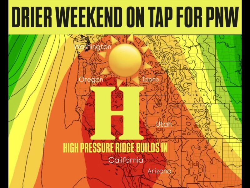
Meteorologist Chris Nunley said the system will bring a much calmer pattern after recent rounds of wind and rain, giving residents a chance to enjoy outdoor plans without interruptions.
“A quieter weather pattern develops this weekend with a ridge of high pressure building in,” Nunley said. “Expect drier weather with plenty of sunbreaks and seasonal temperatures.”
Sunshine Returns Across the Northwest
The high-pressure ridge will push storm systems out of the area, resulting in dry skies, light winds, and temperatures near seasonal norms. Sunshine will gradually increase Friday night into Saturday, with mostly clear conditions by Sunday afternoon.
Forecasts call for highs in the low to mid-60s across much of western Washington and Oregon, while eastern Oregon and Idaho will remain a bit cooler with highs in the 50s. Overnight lows are expected to dip into the 40s for most valleys and upper 30s for higher elevations.
“This is shaping up to be one of the nicest weekends we’ve had in weeks,” Nunley added. “After all the rain, this will feel like a real fall reset.”
State-by-State Outlook
Here’s what residents can expect across the region:
- Washington: Mostly sunny skies and light breezes, with highs near 62°F in Seattle and 55°F in Spokane.
- Oregon: Pleasant and dry through Sunday, highs around 65°F in Portland and Eugene, cooling slightly at night.
- Idaho: Sunshine returning for Boise and Twin Falls, highs in the upper 50s and clear skies through the weekend.
Mild Pattern Expected Into Early Next Week
While the high-pressure ridge will keep the weekend dry, forecasters say it may begin to weaken early next week as a weak front approaches the coast. That could bring light rain showers back to western Oregon and Washington by Tuesday.
Still, meteorologists expect the region to stay warmer and drier than average for several days, offering a much-needed break from recent storms.
For continuing weather updates and state forecasts, visit NapervilleLocal.com for reliable reports and real-time alerts.

I’ve lived in Naperville long enough to see how quickly our community changes — from new developments downtown to sudden shifts in our Midwest weather. Reporting on Naperville news and daily forecasts gives me the chance to keep neighbors informed about what really matters. My goal is simple: deliver clear, timely updates so you always know what’s happening in our city and what to expect from the skies above.