
Arctic Front to Slam Into Oklahoma’s Green Country This Weekend, Sending Temperatures 20 Degrees Below Normal
TULSA, OKLAHOMA — A major cold front is poised to plunge into Green Country on Saturday afternoon, bringing a sharp drop in temperatures that will push conditions 10–20 degrees below average overnight and 5–15 degrees below average during the day, according to regional forecasters.
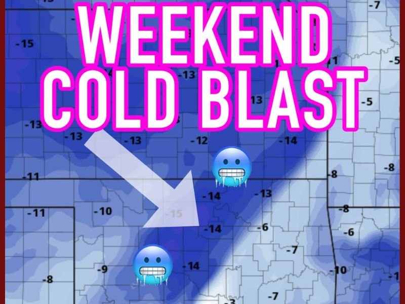
The National Weather Service and local meteorologists warn that residents should prepare for a weekend cold blast, with the most intense chill arriving Saturday evening and lingering through early next week.
Frigid Air Mass to Dominate Oklahoma
A strong Arctic air mass will settle over northeastern and central Oklahoma, sending “feels-like” temperatures plummeting well into the teens and low 20s. Areas around Tulsa, Bartlesville, and Muskogee could see some of the most dramatic temperature departures, with readings as much as 15–20 degrees below seasonal averages.
The front is expected to sweep in from the northwest, with brisk north winds driving wind chills even lower. Forecasters noted that while daytime highs will remain above freezing, the combination of gusty winds and dry air will make it feel much colder.
“This is a classic early-season Arctic front,” said one meteorologist. “If you haven’t winterized your pipes or checked your heating systems yet, now’s the time.”
Travel and Outdoor Warnings Issued
The cold surge could cause slick spots on untreated roads, especially in rural areas, as overnight lows dip into the upper teens and low 20s. Residents are urged to bundle up, protect pets, and limit outdoor exposure during early morning hours.
Some warming is expected by midweek, but forecasters caution that it will take time for temperatures to rebound to normal seasonal levels.
Stay tuned to NapervilleLocal.com for continuing weather coverage and updates on major cold fronts across the Midwest and South.

I’ve lived in Naperville long enough to see how quickly our community changes — from new developments downtown to sudden shifts in our Midwest weather. Reporting on Naperville news and daily forecasts gives me the chance to keep neighbors informed about what really matters. My goal is simple: deliver clear, timely updates so you always know what’s happening in our city and what to expect from the skies above.