
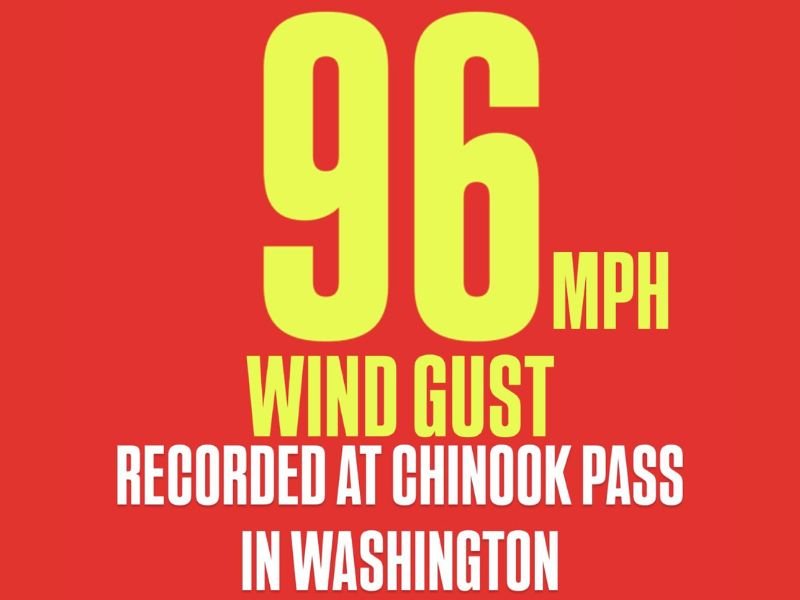
96 MPH Wind Gust Recorded at Chinook Pass as Powerful Mountain Winds Sweep Across Washington’s Cascades
WASHINGTON STATE — A powerful wind event swept through the Cascade Mountains on Friday, with meteorologists confirming an extraordinary 96 mph wind gust recorded at Chinook Pass. The near-hurricane-force winds were part of a strong weather system moving across the Pacific Northwest, bringing dangerous gusts, blowing snow, and potential tree damage to higher elevations.
Extreme Winds Rattle the Cascades
According to meteorological data shared by regional forecasters, the gusts at Chinook Pass—located along State Route 410 east of Mount Rainier National Park—were some of the strongest observed this season. Ridge-top sensors captured sustained winds above 70 mph for several hours overnight, with peak gusts nearing 100 mph early Friday morning.
Forecasters attribute the extreme winds to a combination of tight pressure gradients and a strong upper-level jet stream moving over the mountainous terrain. These conditions can cause severe localized gusts as air accelerates down steep slopes, a phenomenon often seen in the Cascades during early winter storm cycles.
Travel and Safety Concerns
State transportation officials are warning travelers to avoid high mountain passes until conditions stabilize. Strong crosswinds have made driving hazardous along SR-410 and nearby routes, especially for high-profile vehicles. Additionally, snow showers and blowing snow have reduced visibility in higher elevations, adding to travel risks.
Power outages and tree damage have been reported near elevated communities around Crystal Mountain and Yakima County, where strong downdrafts reached lower valleys. Crews are monitoring mountain roads for debris and ice formation as temperatures continue to drop behind the passing front.
Meteorologists: Winds Comparable to Category 2 Hurricane Strength
The 96 mph gust recorded at Chinook Pass is comparable to winds produced by a Category 2 hurricane, underscoring the intensity of this mountain wind event. Experts note that such extreme gusts, while relatively isolated to ridgelines, can cause structural strain on buildings, ski lift systems, and power infrastructure in high-altitude zones.
The National Weather Service in Seattle continues to monitor mountain wind speeds and advises hikers, skiers, and backcountry travelers to exercise caution through the weekend. Another round of gusty winds may develop Sunday as another Pacific system moves inland.
Outlook for the Pacific Northwest
While winds will gradually subside through Saturday, cooler temperatures and occasional snow showers will linger across Washington’s Cascades and eastern valleys. The rest of the Pacific Northwest, including Seattle and Portland, will see breezy but less extreme conditions heading into Sunday.
Meteorologists caution that additional wind events are likely through mid-December as active storm patterns continue to track inland from the Pacific Ocean. Residents in exposed or elevated areas should stay alert for updated advisories and take precautions when traveling mountain routes.
For ongoing coverage of major weather events and regional forecasts, visit NapervilleLocal.com for the latest updates and safety information.

I’ve lived in Naperville long enough to see how quickly our community changes — from new developments downtown to sudden shifts in our Midwest weather. Reporting on Naperville news and daily forecasts gives me the chance to keep neighbors informed about what really matters. My goal is simple: deliver clear, timely updates so you always know what’s happening in our city and what to expect from the skies above.