
Midwest, Great Lakes, and Northeast States Face a Deceptive Winter Shift as Cold Air Quietly Strengthens January 11–16
UNITED STATES – Weather data spanning January 11 through January 16 reveals a subtle but meaningful winter pattern shift affecting large portions of the Central Plains, Midwest, Great Lakes, and Northeast, including Minnesota, Wisconsin, Michigan, Illinois, Indiana, Ohio, Pennsylvania, New York, and New England. While early surface temperatures may appear manageable, atmospheric data confirms cold air is strengthening above ground first, a setup that often leads to delayed but more persistent winter conditions.
This pattern is not a routine January cooldown. Instead, it reflects a stealth winter transition, where colder air quietly establishes itself aloft before fully reaching the surface, increasing the risk of underestimated cold impacts.
Upper-Level Cold Is Advancing Before Surface Temperatures Respond
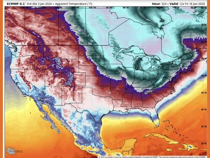
Forecast maps focus on 850-millibar temperatures, which measure air roughly 5,000 feet above ground level. By January 11, colder air begins advancing across the Central Plains and Upper Midwest, while surface conditions remain relatively stable.
By January 16, the cold air mass expands and deepens across the Midwest, Great Lakes, Ohio Valley, and interior Northeast, signaling that surface temperatures are likely to trend colder shortly afterward. This explains why this pattern feels misleading — the cold is already present, even if it isn’t fully felt yet.
Why This January Pattern Is Different From a Typical Cold Snap
Most January cold events arrive suddenly with immediate surface impacts. This one does not. The data shows cold air slipping in quietly, allowing milder surface air to linger temporarily. Once atmospheric mixing completes, the outcome often includes sharper and longer-lasting cold.
Potential impacts include sudden overnight temperature drops, extended stretches of below-normal daytime highs, increased ice risk even without heavy snowfall, and higher heating demand that stresses infrastructure. Because the transition appears calm at first, many areas may misjudge how entrenched the cold becomes.
States Most Impacted Based on Current Data
Based strictly on the temperature gradients shown in the data, the states most impacted during the January 11–16 window include Minnesota and Wisconsin, where cold air establishes earliest, followed by Michigan, Illinois, Indiana, and Ohio, where the cold deepens mid-period. Pennsylvania, New York, and interior New England see colder air arrive later but remain under its influence longer.
Meanwhile, the southern Gulf Coast states remain largely outside the core cold, highlighting a strong north-to-south temperature contrast rather than a nationwide freeze.
What This Pattern Signals for the Rest of January
When cold air strengthens aloft first, it becomes harder to dislodge. This increases the likelihood of extended cold periods later in January, even if brief warm-ups appear in short-term forecasts.
Residents across the Midwest, Great Lakes, and Northeast should avoid assuming winter is easing. The data instead suggests winter is consolidating quietly and preparing to assert itself more firmly. For continued coverage that explains how large-scale weather patterns translate into real regional impacts, stay connected with NapervilleLocal.com.

I’ve lived in Naperville long enough to see how quickly our community changes — from new developments downtown to sudden shifts in our Midwest weather. Reporting on Naperville news and daily forecasts gives me the chance to keep neighbors informed about what really matters. My goal is simple: deliver clear, timely updates so you always know what’s happening in our city and what to expect from the skies above.