
Ohio Braces for Colder, Stormier Pattern January 15–February 15 as Atmospheric Signals Point Toward a High-Impact Winter Stretch
United States — New long-range atmospheric data highlights a significant winter pattern shift expected to impact Ohio between January 15 and February 15, with a strong combination of teleconnections suggesting colder temperatures, increased storminess, and the potential for multiple impactful winter systems.
While this outlook does not extend to Illinois or the Midwest directly, the emerging pattern across the Great Lakes region is notable for its potential national implications and the strong signal for a more active winter period in Northern Ohio.
Why Meteorologists Are Watching This Pattern Window
Several key atmospheric indicators are aligning in a way that favors colder, stormier weather across Ohio:
- The Arctic Oscillation (AO) is projected to trend strongly negative, weakening the polar vortex and allowing deeper cold air to spill into the U.S.
- The Madden–Julian Oscillation (MJO) is shifting into phases that historically support increased storm potential for the eastern half of the country.
- A fading La Niña is opening the door for a more active subtropical jet — a crucial ingredient in major winter storms.
- The overall storm track favors classic “Panhandle Hook” systems, which form near Oklahoma and often curve northeast toward the Great Lakes, delivering significant snow or mixed precipitation.
Combined, these patterns strongly suggest that winter is preparing to intensify across Ohio after a relatively calm stretch.
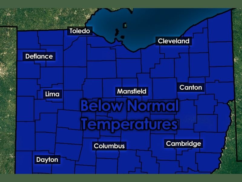
Below-Normal Temperatures Expected Across Ohio
The temperature map included with the analysis highlights nearly the entire state of Ohio under a below-normal temperature zone, including:
- Cleveland
- Columbus
- Toledo
- Lima
- Canton
- Mansfield
- Dayton
- Cambridge
This broad cold signal increases the likelihood that any incoming storm systems will bring snow or wintry precipitation rather than rain.
Rather than a brief cold snap, the pattern supports a longer-duration period where cold air repeatedly reinforces itself, keeping temperatures suppressed statewide.
Potential for Multiple Significant Winter Storms
Meteorologists note that while specific storms cannot yet be identified, the pattern itself is one that historically produces:
- Strong Great Lakes winter storms
- High snowfall potential for Northern Ohio
- Wind-driven snow events
- Mixed-precipitation systems tied to a strong subtropical jet
Forecasters caution that nothing is locked in, but the confidence in the overall pattern is high, and several winter systems may develop within this 30-day window.
This is the type of setup where forecasters often begin adjusting messaging, emphasizing model uncertainty while acknowledging a high-impact winter risk is on the table.
Why This Matters Nationally
Although the data does not show direct impacts for Illinois at this time, major pattern shifts over the Great Lakes and Ohio Valley can influence:
- Regional travel
- Airline schedules
- Supply chains
- Interstate weather patterns that later evolve farther west
For residents in Ohio and nearby states, early awareness is crucial, as colder air and storm potential increase substantially once the pattern locks in.
Looking Ahead
The January 15–February 15 window will be monitored closely as new model data becomes available. Early signals do not guarantee a specific storm, but they do strongly suggest that winter is far from over — and may be about to intensify across Northern Ohio.
NapervilleLocal.com will continue tracking national pattern changes to keep readers informed on developing weather trends with accurate, responsible reporting.

I’ve lived in Naperville long enough to see how quickly our community changes — from new developments downtown to sudden shifts in our Midwest weather. Reporting on Naperville news and daily forecasts gives me the chance to keep neighbors informed about what really matters. My goal is simple: deliver clear, timely updates so you always know what’s happening in our city and what to expect from the skies above.