
Northeast and Mid-Atlantic States Face Potential High-Impact Nor’easter Late Next Week as Storm Signal Strengthens
United States — Meteorologists are closely monitoring a developing storm signal for late next week that could evolve into a significant nor’easter affecting parts of the Northeast and Mid-Atlantic, if key atmospheric pieces come together. While confidence remains limited at this range, forecasters say the overall pattern is drawing attention because energy, moisture, and cold air are all present, raising the stakes as the forecast window narrows.
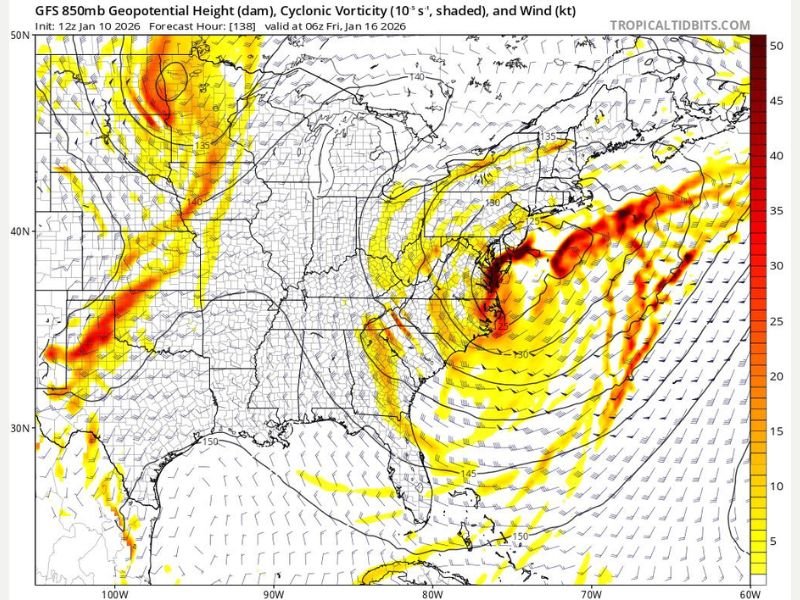
According to long-range model analysis, the Thursday through Saturday timeframe late next week is emerging as a critical period. Forecasters caution that this setup could either come together decisively or fail entirely, depending on subtle changes in timing and alignment.
Why Meteorologists Are Watching This Pattern Closely
Weather analysts describe the situation as a high-potential but high-uncertainty setup. The southern jet stream appears active, supplying ample moisture, while the northern branch of the jet stream is positioned favorably to deliver cold air. When these ingredients align properly, they can produce powerful coastal storms.
At the same time, forecasters stress that everything must come together just right. Even small disruptions in jet stream interaction or storm timing could significantly weaken the system or shift impacts offshore. This delicate balance is why meteorologists are avoiding specifics for now, focusing instead on the overall signal rather than exact impacts.
What Makes This Different From Earlier Winter Systems
If this storm materializes, forecasters say it would not resemble the clipper systems seen earlier this season. Clippers tend to be fast-moving and limited in moisture, producing lighter snowfall.
Instead, this setup shows signs of a bonafide nor’easter or coastal storm, which typically brings:
- Stronger winds
- Heavier precipitation
- Longer-lasting impacts
- Widespread coastal and inland effects
Such storms can deliver heavy snow, strong coastal winds, and significant travel disruptions, depending on storm track and temperature profiles.
Regions Most Likely to Be Impacted If the Storm Develops
While it is far too early for exact impact zones, the pattern suggests potential effects across:
- Mid-Atlantic states
- Northeast coastal regions
- Interior Northeast areas, depending on cold air placement
Storms of this type often impact major population centers along the Interstate 95 corridor, but forecasters emphasize that track adjustments are common at this stage.
When Confidence Will Increase
Meteorologists say Tuesday will be a key day in determining whether this storm is a true threat or just another long-range signal that fades. By then, models should begin converging on a clearer solution, allowing forecasters to assess:
- Storm strength
- Coastal versus inland track
- Rain versus snow potential
- Wind intensity and coastal impacts
Until that point, experts recommend viewing this as a storm signal, not a forecast.
Why This Storm Matters Even Before It Forms
The significance of this setup lies in its potential ceiling. If conditions align, this could be the most impactful storm of the season so far for parts of the eastern United States. That possibility alone is enough to warrant close monitoring by emergency planners, transportation agencies, and weather professionals. At the same time, forecasters stress the importance of patience. Long-range winter storm signals frequently appear promising before collapsing as details sharpen.
What Residents Should Do Now
There is no need for preparation or schedule changes at this time. Residents in the Northeast and Mid-Atlantic should simply:
- Stay informed
- Avoid reacting to early model graphics
- Watch forecast trends over the next several days
More concrete guidance will come once confidence increases. As this developing weather pattern continues to evolve, NapervilleLocal.com will provide clear, fact-based updates explaining what’s changing and why it matters, without hype or speculation.

I’ve lived in Naperville long enough to see how quickly our community changes — from new developments downtown to sudden shifts in our Midwest weather. Reporting on Naperville news and daily forecasts gives me the chance to keep neighbors informed about what really matters. My goal is simple: deliver clear, timely updates so you always know what’s happening in our city and what to expect from the skies above.