
Rare Gulf Coast Snow Threat Emerges This Weekend as Cold Air Pushes Wintry Weather From Louisiana to North Florida
United States — A rare winter weather setup is drawing attention across the Gulf Coast as forecast trends indicate snow could reach unusually far south this weekend, with potential impacts stretching from Louisiana through the Florida Panhandle and into north Florida.
The developing pattern suggests cold air will be strong enough to support wintry precipitation along and near the I-10 corridor, placing cities not accustomed to snow within the zone of concern. While exact amounts remain uncertain, the geographic reach alone makes this event noteworthy.
How Far South Snow Could Reach
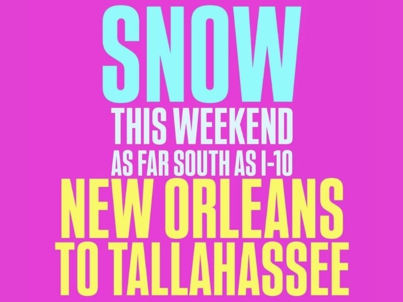
Current guidance highlights a corridor extending from New Orleans eastward toward Tallahassee, an area that typically sees rain during winter systems. The data indicates that cold air may push far enough south to allow snow to develop, at least briefly, during the event.
Key points from the forecast signal include:
- Snow potential reaching as far south as I-10
- A west-to-east corridor spanning multiple Gulf states
- Conditions supportive of snow or mixed winter precipitation
Even light snowfall in these areas would be considered unusual and impactful.
Why This Setup Is Uncommon for the Gulf Coast
Snow events along the Gulf Coast require a precise alignment of factors, including strong cold air, sufficient moisture, and the correct storm track. This setup appears to be bringing those ingredients together, at least temporarily.
Unlike typical Gulf systems that produce cold rain, this pattern suggests:
- Cold air arriving deeper and faster than usual
- Temperatures low enough for snow, not just sleet or rain
- A broader regional footprint rather than a localized anomaly
Because these areas lack winter road treatment infrastructure, even minor snow can create significant disruptions.
Potential Impacts if Snow Develops
If snow reaches the Gulf Coast as projected, residents could experience:
- Travel slowdowns and slick roads
- School or government schedule changes
- Disruptions along major highways, including I-10
- Increased accident risk due to unfamiliar winter conditions
Snowfall totals are less important than timing and surface temperatures, which can quickly turn roads hazardous even with minimal accumulation.
What Residents Should Monitor Going Into the Weekend
This forecast is still evolving, and small shifts in temperature or storm track could change outcomes. Residents across Louisiana, Mississippi, Alabama, and north Florida should:
- Monitor updated forecasts closely
- Be cautious with weekend travel plans
- Prepare for rapidly changing road conditions
- Avoid dismissing the threat due to past false alarms
Confidence will increase as the weekend approaches, but the current signal is strong enough to warrant attention.
For continued coverage of unusual winter weather events, evolving snow risks, and regional impact updates, follow reports from NapervilleLocal.com, where we track major national weather developments and explain why they matter.

I’ve lived in Naperville long enough to see how quickly our community changes — from new developments downtown to sudden shifts in our Midwest weather. Reporting on Naperville news and daily forecasts gives me the chance to keep neighbors informed about what really matters. My goal is simple: deliver clear, timely updates so you always know what’s happening in our city and what to expect from the skies above.