
California, Oregon and Washington Put on Alert as Hurricane Hunters Track Pacific Energy That Could Fuel Next Winter Storm
UNITED STATES — Meteorologists across California, Oregon, Washington, and parts of the western United States are closely monitoring a developing disturbance in the Pacific Ocean after Hurricane Hunter aircraft were deployed to gather high-resolution atmospheric data tied to a potential winter storm later this week.
Forecasters emphasize that the system is not yet a certainty, but the decision to send specialized reconnaissance flights signals heightened concern about how this energy could evolve once forecast models ingest the new data.
Why Hurricane Hunters Are Flying Over the Pacific
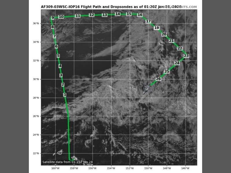
The Hurricane Hunters are conducting targeted flights over the central and eastern Pacific, releasing dropsondes to measure temperature, wind speeds, pressure, and moisture levels inside the system. This type of mission is typically reserved for situations where forecast confidence is low but potential impacts could be significant.
Meteorologists say the collected data will be especially valuable heading into overnight and morning model runs, which often determine whether a system strengthens, weakens, or shifts track.
Potential Impacts for Western States
If the Pacific energy organizes into a winter storm, California, Oregon, and Washington would likely be the first states affected. Forecasters are watching for the possibility of increasing precipitation, falling snow levels in higher elevations, and gusty winds as the system approaches the West Coast.
While specific snowfall totals or rainfall amounts cannot yet be determined, experts note that early-season Pacific systems can intensify rapidly, particularly when colder air is already present inland.
Why Forecasters Say This System Matters
This disturbance is drawing attention because of its timing and placement within the jet stream, which could allow it to tap into colder air and strengthen as it moves east. Meteorologists caution that without the Hurricane Hunter data, computer models may underestimate or misplace the system’s eventual impact zones.
The additional data should significantly reduce uncertainty and clarify whether this feature becomes a notable winter weather event or fades before reaching land.
What to Watch Over the Next 24 Hours
Forecasters say confidence will improve once the new reconnaissance data is fully integrated into forecasting models. The next round of updates will focus on storm development, potential impact areas, and timing across the western states.
Residents in California, Oregon, and Washington are encouraged to stay aware of forecast updates, especially those in mountain communities, where winter conditions can change quickly if the system strengthens. Stay connected with NapervilleLocal.com for continued national and regional weather coverage as this developing Pacific system becomes clearer.

I’ve lived in Naperville long enough to see how quickly our community changes — from new developments downtown to sudden shifts in our Midwest weather. Reporting on Naperville news and daily forecasts gives me the chance to keep neighbors informed about what really matters. My goal is simple: deliver clear, timely updates so you always know what’s happening in our city and what to expect from the skies above.