
Illinois Faces Dangerous Arctic Blast This Weekend as Subzero Temperatures and -20 Wind Chills Spread Statewide
ILLINOIS — A powerful Arctic blast is set to sweep across much of the state this weekend as extremely cold air drops south into the Midwest, pushing temperatures below zero and creating dangerous wind chill conditions across Illinois.
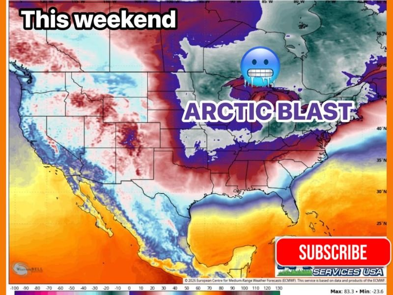
Forecast data shows Illinois positioned within the core of the coldest air mass, with Saturday and Sunday mornings expected to be the most severe. Air temperatures are projected to fall below zero on their own, while wind chills could plunge into the -20 degree range. Weather experts warn that this level of cold can rapidly increase the risk of frostbite and hypothermia, even during short periods of outdoor exposure.
Why This Arctic Blast Is Especially Dangerous
This outbreak is being driven by a deep surge of Arctic air descending from Canada and spreading across the central United States. Unlike typical winter cold spells, this air mass is exceptionally dense and dry, allowing temperatures to fall sharply overnight and remain dangerously low through the early morning hours.
Wind will significantly worsen conditions. Even light breezes can strip heat from exposed skin, making temperatures feel far colder than actual readings. When wind chills reach the -20 degree range, frostbite can occur in as little as 15 to 30 minutes, particularly on hands, ears, and facial skin.
Areas of Illinois Most Affected
The cold air is expected to blanket nearly all of Illinois, from northern regions near the Wisconsin border to southern parts of the state. Forecast maps indicate widespread subzero conditions with minimal regional variation during the peak of the cold.
Southern Illinois, which is directly referenced in forecast messaging, is expected to experience especially harsh overnight conditions. Central and northern Illinois, including the Chicago metropolitan region, will also remain well below seasonal averages, with daytime temperatures struggling to recover.
Health, Travel, and Infrastructure Concerns
State and local officials urge residents to treat this Arctic blast as a serious public safety concern. Extreme cold can strain heating systems, freeze pipes, and impact vehicles, increasing the likelihood of breakdowns and infrastructure issues.
Those most at risk include children, seniors, outdoor workers, and individuals without consistent heating. Pets should be kept indoors, as animals can suffer frostbite quickly in these conditions. Drivers are advised to keep emergency supplies in vehicles, including blankets, gloves, and fully charged phones.
Residents should also use caution with space heaters and alternative heat sources, ensuring proper ventilation and avoiding indoor use of fuel-powered equipment.
How Long the Cold Will Last
Forecast guidance suggests the coldest temperatures will peak over the weekend, with gradual moderation early next week. However, overnight lows may remain dangerously cold even as daytime highs slowly improve. Residents are encouraged to monitor local advisories and be prepared for continued cold-related warnings.
While snow is not the primary threat with this event, the intensity of the cold alone makes it a major weather hazard across Illinois.
Illinois residents are encouraged to limit outdoor exposure, dress in multiple layers, and check on vulnerable neighbors as this Arctic blast takes hold. Extreme cold can be just as dangerous as severe storms when precautions are not taken. For continued updates on Illinois weather conditions and local impacts, visit NapervilleLocal.com for ongoing coverage.

I’ve lived in Naperville long enough to see how quickly our community changes — from new developments downtown to sudden shifts in our Midwest weather. Reporting on Naperville news and daily forecasts gives me the chance to keep neighbors informed about what really matters. My goal is simple: deliver clear, timely updates so you always know what’s happening in our city and what to expect from the skies above.