
Hawaii Sees Rare Winter Contrast as Snow Blankets Mauna Kea While High Winds and Flood Watches Impact the State
HAWAII — An unusual winter weather setup is unfolding across Hawaii, where snow is falling at higher elevations near Mauna Kea while high wind warnings and flood watches remain in effect across other parts of the state. Forecast data indicates that 12 to 20 inches of snow are expected to accumulate near Mauna Kea by the time the current system moves out.
While snowfall at Hawaii’s highest elevations is not unprecedented, the scope of this event highlights the dramatic weather contrasts occurring simultaneously across the islands.
Snowfall Focused on Higher Elevations Near Mauna Kea
The snowfall is concentrated in high-elevation areas, particularly near Mauna Kea, where colder temperatures allow snow to accumulate during strong winter systems. The data shows that this single event could produce more than a foot of snow, placing it among the more notable snow events for the region this season.
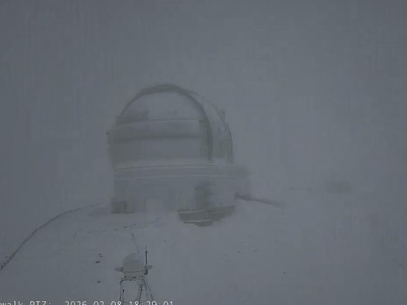
The image provided shows near-whiteout conditions at elevation, underscoring how intense the snowfall has been in these mountainous areas.
How This Snowfall Compares to the Mainland
The data notes a striking comparison: parts of Hawaii may receive more snow from this single system than portions of southeast Michigan have received during the entire winter season so far. While Michigan typically expects more frequent winter snowfall, this contrast highlights how localized and powerful the Hawaiian system has become.
This comparison does not suggest unusual conditions for Hawaii’s peaks, but it emphasizes the broader variability of winter weather patterns across the United States this season.
High Winds and Flood Concerns Elsewhere in Hawaii
Alongside the snow at higher elevations, high wind warnings and flood watches are also active across Hawaii. These alerts indicate that lower-elevation and coastal areas are experiencing very different impacts, including strong winds and the potential for heavy rainfall and flooding.
This combination of hazards reflects the complex nature of the system, affecting different regions of the state in very different ways at the same time.
Why Snow in Hawaii Still Draws Attention
Although snow is not uncommon at the highest elevations, it remains a reminder of Hawaii’s unique geography, where tropical coastlines coexist with alpine conditions just miles away. When snow totals climb into the 12–20 inch range, it draws added attention due to the rarity of such accumulations being observed by the public.
What Happens Next
As the system wraps up, snow accumulation near Mauna Kea is expected to taper off, while officials continue monitoring wind and flood risks elsewhere in the state. Residents and visitors are urged to remain aware of changing conditions, especially in higher terrain and flood-prone areas.
For continued data-driven reporting on significant weather events across the country, follow updates on NapervilleLocal.com, where unusual and impactful weather patterns are covered with accuracy and clarity.

I’ve lived in Naperville long enough to see how quickly our community changes — from new developments downtown to sudden shifts in our Midwest weather. Reporting on Naperville news and daily forecasts gives me the chance to keep neighbors informed about what really matters. My goal is simple: deliver clear, timely updates so you always know what’s happening in our city and what to expect from the skies above.