
Colorado and Southern Wyoming Brace for Stormy Stretch With Rain, Wet Snow, and 65 mph Mountain Gusts Through Friday
COLORADO — A storm system is moving into Colorado and parts of southern Wyoming today, bringing a mix of wet snowfall, rain showers, and strong winds that will continue through Friday. While this will not be a major winter storm for most areas, residents across the mountains and western slope should prepare for periods of winter driving conditions, especially at higher elevations.
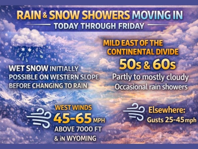
Wet Snow and Rain Expected on the Western Slope
The system may begin with wet snurfell or wet snowfall along the western slope before temperatures climb and precipitation transitions to rain. Mountain areas west of the Continental Divide will see the most consistent snowfall, though totals are expected to remain on the lighter side. Still, travel over mountain passes may become slick, particularly during the overnight and early morning hours.
Milder Weather East of the Continental Divide
Conditions look significantly calmer east of the mountains. Highs will reach the 50s and 60s, with partly to mostly cloudy skies and scattered, hit-or-miss rain showers through Friday.
Winds will be gusty at times, but widespread travel disruptions are not expected for the eastern half of the state.
Powerful Winds in High Elevations and Southern Wyoming
One of the most impactful features of this system will be the wind.
Areas above 7,000 feet and parts of southern Wyoming could experience gusts between 45–65 mph, driven by mountain wave activity. These winds may cause dangerous crosswinds, especially for high-profile vehicles traveling on exposed routes. Winds across the plains and valleys will be much lighter but may still gust between 25–45 mph at times.
Health Sensitivity and Pressure Changes
The storm will bring noticeable barometric pressure fluctuations, which may affect anyone sensitive to atmospheric changes. Precautions are recommended through Friday, when the system gradually weakens and exits the region.
High Pressure Expected This Weekend
A more stable pattern takes over for the weekend with building high pressure. Early next week looks calm—before a potentially more complex pattern develops, according to long-range weather models. However, forecasters say it is too early for specifics, and more accurate details will emerge in the coming days.
Stay Updated
More updates will follow as updated model data becomes available and confidence improves in next week’s developing weather pattern.

I’ve lived in Naperville long enough to see how quickly our community changes — from new developments downtown to sudden shifts in our Midwest weather. Reporting on Naperville news and daily forecasts gives me the chance to keep neighbors informed about what really matters. My goal is simple: deliver clear, timely updates so you always know what’s happening in our city and what to expect from the skies above.