
Colorado Storm System to Bring Wet Snow on the Western Slope and Light Showers East of the Continental Divide
COLORADO — A developing storm system is set to move into western Colorado tomorrow, bringing a mix of wet snowfall, rain, and mild conditions depending on elevation and region. While this system is not expected to reach significant winter-storm intensity, it will still influence travel, visibility, and outdoor plans across multiple parts of the state.
Wet Snow Possible on the Western Slope Before Turning to Rain
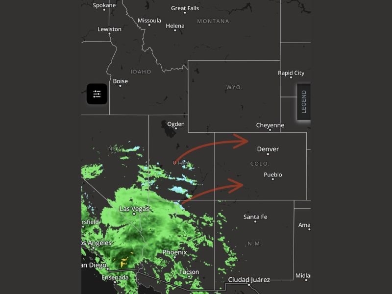
Forecasters report that precipitation may begin as wet snurfell or wet snow along the western slope, including areas near Grand Junction, before transitioning to rain as temperatures climb. Early moisture will fall over higher terrain first, where colder surface air may briefly support snowfall.
This type of setup typically brings short-lived winter impacts, including slick mountain passes, low clouds, and brief reduced visibility. However, major accumulations are not expected, and the system will remain below the threshold of a classic Colorado mountain storm.
Light Showers and Mild Weather East of the Continental Divide
For residents east of the Continental Divide — including Denver, Colorado Springs, and surrounding Front Range communities — the incoming system will behave very differently.
Forecasts point to mild temperatures in the 50s and 60s, with skies ranging from partly to mostly cloudy.
Only occasional light rain showers are expected, and no widespread hazardous winter weather signals appear in current data.
This makes the storm a low-impact event for eastern Colorado, especially compared to stronger winter systems that typically affect the region later in the season.
Strong Winds Likely Above 7,000 Feet
While lower elevations escape major impacts, conditions change dramatically above 7,000 feet, where gusts between 45–65 mph are expected due to developing mountain wave activity. These gusts may create crosswind hazards on exposed passes and ridgelines.
Residents sensitive to barometric pressure changes should also expect noticeable fluctuations through Friday as the system crosses the state.
Pattern Change Expected Next Week
Long-range models continue hinting at a major pattern shift developing next week. While timing remains uncertain, forecasters anticipate colder air and stronger storm potential once models align on a consistent track. Updates will be issued as new data arrives.
For continuing weather updates, daily forecasts, and regional alerts, visit NapervilleLocal.com to stay informed.

I’ve lived in Naperville long enough to see how quickly our community changes — from new developments downtown to sudden shifts in our Midwest weather. Reporting on Naperville news and daily forecasts gives me the chance to keep neighbors informed about what really matters. My goal is simple: deliver clear, timely updates so you always know what’s happening in our city and what to expect from the skies above.