
Illinois, Indiana, Ohio, Michigan and Wisconsin Flagged in Early Model Signal Hinting at Possible Late-February Snow Pattern
ILLINOIS — An early computer model run is sparking buzz about a possible snowy setup around February 22, with Illinois sitting inside a broad zone of potential precipitation on the map. But the key message in the update is just as important as the colors: this is not a forecast, and the pattern could look very different as newer model runs arrive.
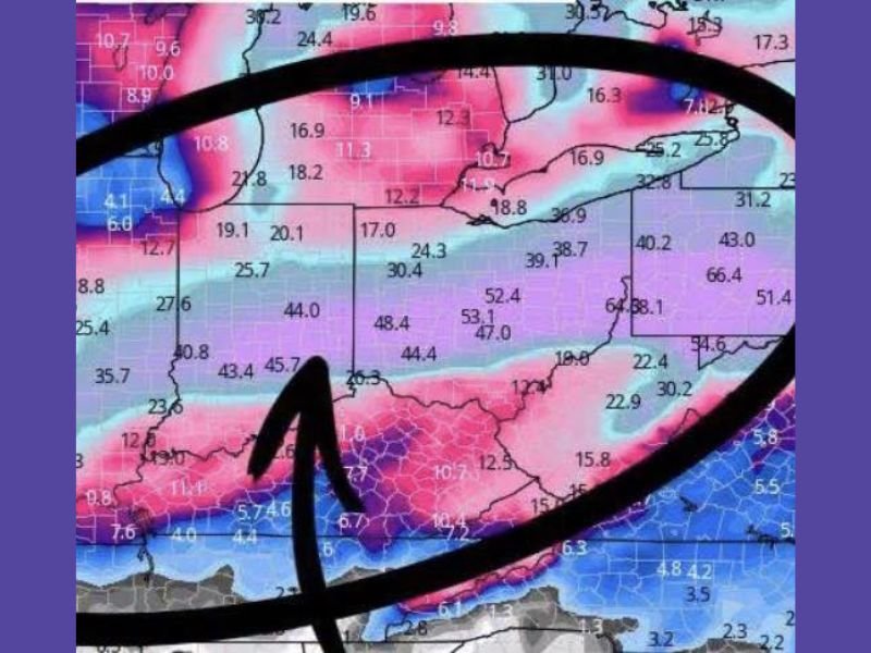
What the image is actually showing
The graphic shared is labeled as a single model run aimed at the general late-February window. The text attached to it explicitly warns people not to treat it like a finalized forecast, noting there are “no commitments yet” and that things can change quickly.
That matters because long-range model runs often exaggerate storm strength, shift storm tracks by hundreds of miles, or even erase storms entirely in later updates.
Which states appear to be in the potential snow zone
Even with the uncertainty, the map highlights a large swath of the Midwest and Great Lakes region. The circled area covers parts of Illinois, Indiana, Ohio, Michigan, Wisconsin, and into surrounding states, suggesting the model is hinting at a broader storm track rather than a narrow band.
For Illinois, the takeaway isn’t “a storm is coming.” The takeaway is: Illinois is currently included in the model’s potential snow corridor, meaning it’s a setup worth watching—especially if you’re planning travel in the last third of February.
Why the post mentions AO/NAO and why it matters
The text notes that AO/NAO models are “wild,” referring to large-scale atmospheric patterns that can influence where cold air settles and how storm tracks behave.
When those patterns are in flux, a storm signal can appear on one run and then shift or weaken on the next. That’s why meteorologists typically wait for consistency across multiple model runs before increasing confidence, especially this far out.
What this could mean for the Naperville area if the signal holds
If later updates keep showing a storm track through the Midwest, the Naperville area could eventually see impacts such as:
A period of accumulating snow that affects commuting and school schedules, especially if the storm arrives during weekday hours. A mix of snow and rain is also possible depending on how much cold air is available when the system arrives, which is something models often struggle with at longer ranges.
Right now, though, none of those details are locked in. This stage is more like a “heads up” that the pattern could become active again.
What to watch for next
The most important signal to track isn’t the exact numbers on this one image—it’s whether multiple consecutive model runs keep placing the storm corridor over Illinois, and whether other models begin to show the same idea.
If the snow signal keeps reappearing for the Feb. 22 window over the next several days, confidence increases. If it starts jumping north, south, or disappearing, that’s a sign the atmosphere isn’t cooperating with the early idea.
As new data comes in, we’ll keep breaking down what it means for Illinois travel, school routines, and late-winter planning. If you’re seeing local chatter or you’ve got plans during that window, share what you’re hearing and follow the latest updates at NapervilleLocal.com.

I’ve lived in Naperville long enough to see how quickly our community changes — from new developments downtown to sudden shifts in our Midwest weather. Reporting on Naperville news and daily forecasts gives me the chance to keep neighbors informed about what really matters. My goal is simple: deliver clear, timely updates so you always know what’s happening in our city and what to expect from the skies above.