
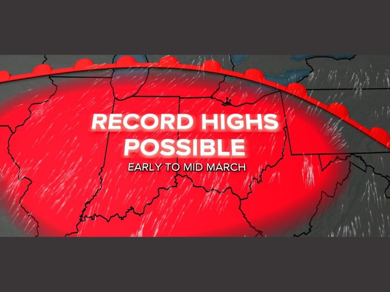
Major Early March Warm-Up Targets Ohio, Michigan and the Southern Great Lakes With Record Highs Possible March 6–12
OHIO & SOUTHERN GREAT LAKES — A dramatic pattern shift is setting the stage for a major early March warm-up, with record high temperatures possible between March 6th and 12th across Ohio and neighboring Great Lakes states.
Forecast models show a strong surge of warmer air building northward into the region, creating conditions that could allow some cities to flirt with — or even break — record highs during that stretch. The warming trend may also deliver the first 70-degree day of 2026 to parts of Ohio within the next two weeks.
Record Highs Possible March 6–12
The projected warm-up centers over Ohio, southern Michigan, Indiana, and surrounding states, where above-normal temperatures are expected to dominate early to mid-March.
Meteorologists indicate that persistent southwest flow will be the key driver. When winds turn out of the southwest, warmer air from the southern Plains and lower Mississippi Valley can surge northward, pushing well into the southern Great Lakes and even into parts of Michigan.
If the setup unfolds as projected, daytime highs during the March 6–12 window could approach or exceed long-standing daily records in some communities.
First 70° Day of 2026 Within Reach
With the anticipated warmth, Ohio could see its first 70-degree day of the year during this period. Early March 70s are not unheard of, but when combined with record potential, they signal a significant break from typical late-winter conditions.
The warmer pattern also hints at a broader seasonal shift as the region transitions toward spring.
Lake Erie Breeze May Temper Warmth at Times
While much of Ohio and surrounding states could see substantial warmth, temperatures will not be uniformly high everywhere every day.
Communities near Lake Erie may experience cooler readings on days when winds shift and lake breezes develop. The cold lake waters can knock temperatures down noticeably for shoreline areas compared to inland locations.
However, on strong southwest wind days, the warmth should overpower lake influences, allowing higher temperatures to extend northward across much of the state and into southern Michigan.
Pattern Shift Signals Spring-Like Setup
The anticipated warm spell reflects a broader atmospheric shift away from late-winter patterns and toward a more spring-like configuration. Persistent ridging and southwest flow aloft will favor warmer air transport into the region.
While it is still several days away, confidence continues to build that early to mid-March will feature a pronounced warm-up.
Residents across Ohio, Michigan, Indiana and surrounding Great Lakes states should prepare for a noticeable taste of spring — and possibly record-breaking warmth — between March 6th and 12th.
For continued regional weather updates and detailed analysis as the pattern develops, stay with NapervilleLocal.com.

I’ve lived in Naperville long enough to see how quickly our community changes — from new developments downtown to sudden shifts in our Midwest weather. Reporting on Naperville news and daily forecasts gives me the chance to keep neighbors informed about what really matters. My goal is simple: deliver clear, timely updates so you always know what’s happening in our city and what to expect from the skies above.