
Major Winter Storm Expected to Impact Midwest and Great Lakes This Weekend with Heavy Snow and Travel Disruptions
ILLINOIS — A major winter storm system is forecast to develop late this week, bringing heavy snow, gusty winds, and hazardous travel conditions to much of the Midwest and Great Lakes region from Friday through Sunday (Nov. 28–30).
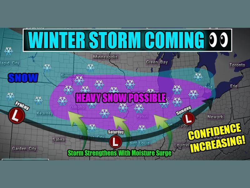
Forecasters say the storm will quickly strengthen as it moves eastward across the Plains, pulling in abundant moisture and cold air — creating a corridor of 6 to 12 inches of snow across several states, including parts of Nebraska, Iowa, Illinois, Wisconsin, and Michigan.
Storm Timing and Development
According to early model guidance, the storm is expected to take shape Friday over the Central Plains before intensifying and moving into the Midwest by Saturday. By Sunday, it will track toward the Great Lakes, bringing widespread snowfall and strong winds to major travel corridors.
Meteorologists have noted that the system’s track and intensity could still shift, but confidence in a high-impact winter storm is rising.
“This setup has all the ingredients for a significant snow event — moisture surge, deepening low pressure, and cold air wrapping in from the north,” said storm chaser Adam Lucio, who shared the forecast model. “If current projections hold, we’re talking about a major travel weekend disruption across multiple states.”
Snowfall Expectations and Impacted Areas
Forecast models highlight a broad band of heavy snow stretching from Kansas and Nebraska northeastward into Illinois, Wisconsin, and Michigan.
- The heaviest snow totals (6–12 inches) are currently expected across eastern Nebraska, central Iowa, northern Illinois, and southern Wisconsin.
- Lighter accumulations are expected across southern Illinois, Indiana, and western Ohio.
As the system strengthens, wind gusts may exceed 30–40 mph, creating blowing snow and reduced visibility. The National Weather Service warns that even moderate accumulations could lead to slick roads, flight delays, and dangerous driving conditions for post-Thanksgiving travelers.
Travel Hazards During the Holiday Weekend
The storm arrives during one of the busiest travel weekends of the year, raising concerns for both road and air travelers.
- Friday: Snow develops over the Plains and begins to expand eastward.
- Saturday: Heaviest snow expected from Iowa through northern Illinois.
- Sunday: System moves into the Great Lakes, with lingering snow and gusty winds.
Drivers heading north or west from Chicago could face deteriorating road conditions, especially on interstates I-80, I-88, and I-90, where near-whiteout conditions are possible at times.
“If you have travel plans this weekend, start watching this system closely,” meteorologists cautioned. “Even small shifts in the storm track could make the difference between light snow and a full-on blizzard.”
Confidence Increasing, Residents Urged to Prepare
With multiple forecast models aligning on a high-impact snow event, confidence is growing that parts of the Midwest will see significant accumulations and dangerous travel conditions.
Residents are encouraged to:
- Check road and flight updates frequently.
- Keep emergency supplies in vehicles.
- Prepare for potential power outages or icy conditions.
Stay tuned for continued coverage and regional forecast updates at NapervilleLocal.com as the storm approaches.

I’ve lived in Naperville long enough to see how quickly our community changes — from new developments downtown to sudden shifts in our Midwest weather. Reporting on Naperville news and daily forecasts gives me the chance to keep neighbors informed about what really matters. My goal is simple: deliver clear, timely updates so you always know what’s happening in our city and what to expect from the skies above.