
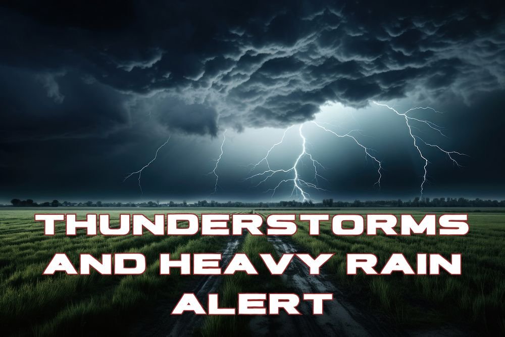
Nebraska–Wyoming Weather Alert: Thunderstorms And Heavy Rain Likely Saturday Afternoon
CHEYENNE, WY — Residents along the Nebraska–Wyoming border should prepare for strong thunderstorms, heavy rain, and gusty winds Saturday afternoon as a fast-moving weather system crosses the region.
Peak Storm Period: 2 PM To 7 PM Saturday
According to the National Weather Service in Cheyenne, the most active storm period will occur between 2 p.m. and 7 p.m. Saturday, October 4, when the cold front sweeps through. Storms could produce wind gusts over 60 mph, moderate to heavy rainfall, and small hail in some locations.
Areas At Highest Risk
Communities most at risk for storm activity include Cheyenne, Torrington, Laramie, Rawlins, Scottsbluff, Kimball, and Sidney. Drivers traveling along Interstate 80 and surrounding highways should use caution, as brief flooding and reduced visibility could occur during peak rainfall.
Cooler Air Behind The Front
Meteorologists say most of the rain will taper off later in the evening as the cold front moves east, ushering in cooler and drier air overnight. Sunday’s highs are expected to drop into the 60s and 70s, offering a noticeable cooldown after Saturday’s storms.
Weather Safety Reminder
Residents are encouraged to monitor local radar, follow NWS weather alerts, and avoid travel during periods of lightning or heavy rain. Outdoor plans — especially along the Wyoming plains or Nebraska Panhandle — should be adjusted to avoid the storm window.
Do you live near the Nebraska–Wyoming border and rely on local forecasts to plan your weekend? Share your storm updates and photos with us at NapervilleLocal.com, where we track the latest Midwest and Plains weather developments.

I’ve lived in Naperville long enough to see how quickly our community changes — from new developments downtown to sudden shifts in our Midwest weather. Reporting on Naperville news and daily forecasts gives me the chance to keep neighbors informed about what really matters. My goal is simple: deliver clear, timely updates so you always know what’s happening in our city and what to expect from the skies above.