
North and South Carolina Could See Brief Thursday Morning Flurries as Fast Clipper Passes, With 50s This Week and Near-60 Next Week
UNITED STATES — A quick-moving clipper system could bring a brief round of flurries Thursday morning, according to the forecast text and model graphic provided, though the overall message is that no impacts are expected. The setup is described as a low-probability but still possible “you might see it flying around briefly” kind of event—more of a visual surprise than a meaningful winter storm.
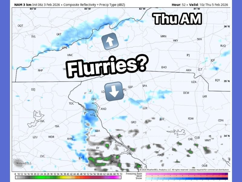
The model graphic shown is labeled NAM 3 km, with a timestamp indicating valid 10z Thursday, Feb. 5, 2026, and it highlights scattered light returns over parts of North Carolina and South Carolina during the early morning hours.
Where flurries could show up Thursday morning
The map focuses on the Carolinas, with the “Flurries?” label positioned over the northern part of the region. The light-blue shading suggests small pockets of precipitation sweeping through quickly—consistent with a clipper-type system that moves fast and doesn’t linger long enough to produce widespread accumulation.
The forecast message emphasizes that even if flurries occur, the chance is low but not zero, and the expectation remains no meaningful impact.
Why this is likely a quick, low-impact event
Clippers are known for being fast-moving systems that can drop a short burst of snow or flurries, then clear out quickly. The note provided with the image specifically says “No impact expected”, framing it as something people might notice briefly—especially in early morning hours—before conditions improve.
In other words, this is not being presented as a travel-disrupting winter event, but rather a quick atmospheric “drive-by.”
Bigger picture: warm-ups and cool-downs continue
The longer-range takeaway in the provided text is that this pattern remains volatile. It notes “lots of ups and downs ahead,” with overall temperatures averaging back into the 50s this week and near 60 next week. Even with that warming trend, the message warns that quick clippers may still deliver a few colder shots along the way.
That means the region could bounce between spring-like afternoons and brief cooler interruptions—typical of late-winter transition patterns.
What to watch for
For now, the most important detail is timing: the flurry chance is tied to Thursday morning, and it’s expected to be brief. After that, the broader forecast theme leans warmer, with temperatures climbing into more comfortable ranges.
Have you seen flurries pop up unexpectedly this winter where you live? Share what you noticed and keep following NapervilleLocal.com for national weather snapshots, rapid pattern shifts, and what to watch next.

I’ve lived in Naperville long enough to see how quickly our community changes — from new developments downtown to sudden shifts in our Midwest weather. Reporting on Naperville news and daily forecasts gives me the chance to keep neighbors informed about what really matters. My goal is simple: deliver clear, timely updates so you always know what’s happening in our city and what to expect from the skies above.