
North Texas Faces a Sudden Winter Shock as Powerful Cold Blast Brings All-Day Chill and Freezing Night Ahead
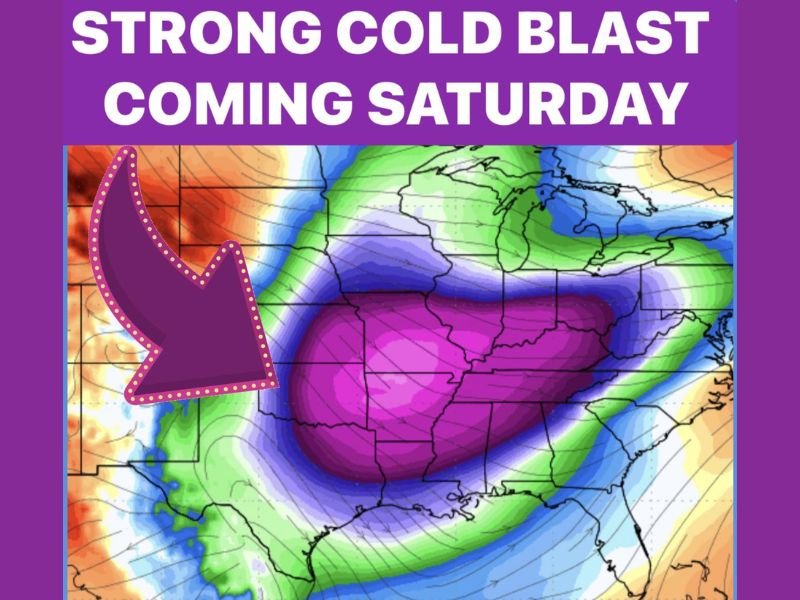
NORTH TEXAS — A sharp and fast-moving winter blast is set to hit the region this weekend, turning a windy Friday into a bitterly cold Saturday and what could become the coldest night of the season so far. Forecast signals point to a quick but intense drop in temperatures, with cold conditions locking in rather than easing after sunrise.
Windy Friday Marks the Arrival of a Strong Cold Front
Before temperatures plunge, very strong winds on Friday will signal the arrival of a potent cold front. These winds will pull in a much colder and extremely dry air mass, setting the stage for a dramatic shift in conditions heading into the weekend. The wind itself will be impactful, but its bigger role is what follows — a prolonged period of cold rather than a brief chill.
Saturday Stays Cold From Morning to Night
Saturday will not offer much relief once the cold air settles in.
- High temperatures remain stuck in the 40s all day
- Wind chills hover in the 30s, making it feel colder than the thermometer suggests
- Little to no daytime warming expected
This will feel like a true winter day, not just a cold start followed by improvement.
Coldest Morning of the Season Likely Late Saturday Night
Forecast guidance shows Saturday night into early Sunday morning shaping up as the most uncomfortable part of this event.
- Widespread temperatures falling into the 20s
- Overnight lows ranging from 20 to 28 degrees
- Wind chills dipping into the teens
The cold is expected to arrive quickly and bite hard, especially during the overnight and early-morning hours.
Dry Air Limits Snow, but Brief Flurries Aren’t Impossible
While the air mass will be very dry at mid-levels, forecasters note that a few isolated snow flurries could still occur if moisture manages to survive evaporation before reaching the ground. Any flurries would be short-lived and spotty, with no accumulation expected under the current setup.
Why This Cold Blast Matters
This isn’t a long-term Arctic siege, but it packs a punch:
- Strong winds ahead of the front
- Cold temperatures holding firm through Saturday
- The sharpest cold so far this winter arriving overnight
Even without snow, this system delivers a clear reminder that January winter patterns are firmly in place. Stay with NapervilleLocal.com for continued coverage as this cold blast moves through and conditions evolve.

I’ve lived in Naperville long enough to see how quickly our community changes — from new developments downtown to sudden shifts in our Midwest weather. Reporting on Naperville news and daily forecasts gives me the chance to keep neighbors informed about what really matters. My goal is simple: deliver clear, timely updates so you always know what’s happening in our city and what to expect from the skies above.