
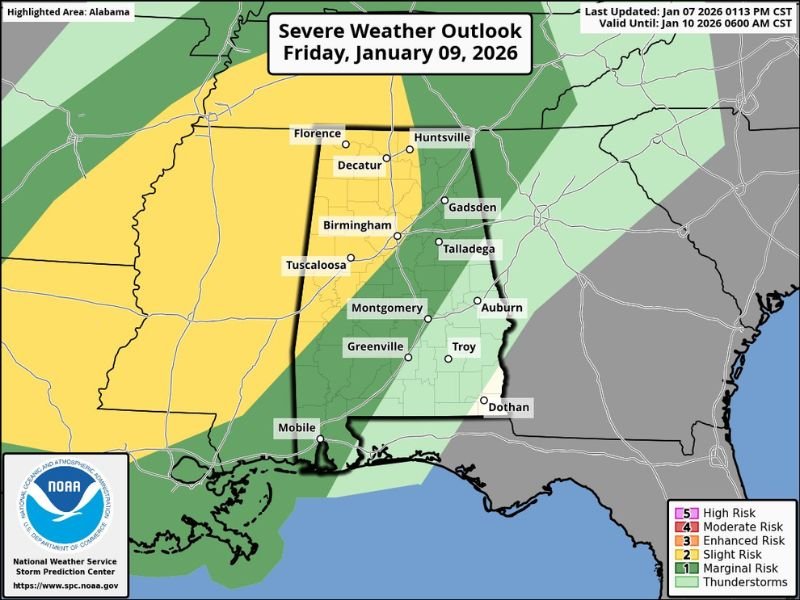
Northern and Central Alabama Expected to See Heavy Rainfall and Gusty Storms Friday Into Saturday as New Data Signals Flooding Risk
United States — Updated forecast guidance highlights a notable heavy rain and storm event across Alabama on Friday and early Saturday, with the greatest impacts expected across the northern half of the state, especially north of the I-20 corridor. While widespread severe thunderstorms are not anticipated, the combination of high rainfall totals, gusty winds, and isolated storm development may create localized hazards.
Northern Alabama Bracing for 2–3 Inches of Rain
Confidence is high that northern Alabama will experience significant rainfall, with most areas projected to receive 2 to 3 inches. Model output also suggests that isolated totals near 4 inches are possible, raising concerns for:
- Street flooding
- Rapid runoff in urban areas
- Minor flooding near creeks or low-lying roads
The heaviest rain is expected from Friday afternoon through early Saturday morning, with totals decreasing substantially across south Alabama, where rainfall amounts are projected to be lighter.
Low Instability Limits Severe Weather, but Some Gusty Storms Are Possible
New data indicates very little surface-based instability as the cold front approaches Alabama Friday afternoon and Friday night. With low CAPE values in place, the environment is not supportive of widespread severe thunderstorms. However, forecasters note that:
- Some storms may still produce strong gusty winds
- An isolated, brief tornado cannot be fully ruled out
- Severe weather overall remains unlikely due to limited instability
This places Alabama in a scenario where high-impact rain is the primary concern, rather than a classic severe storm outbreak.
Cold Front Brings a Temperature Drop on Saturday
As the front sweeps through, temperatures across northern Alabama are expected to fall during the day Saturday, ushering in drier air and putting an end to the widespread rainfall. By Saturday afternoon, most of the remaining showers will shift toward southeastern Alabama, leaving the rest of the state primarily dry. At this time, forecasters do not expect severe thunderstorms on Saturday ahead of the departing system.
What Residents Across Alabama Should Monitor
Although this is not a major severe weather event, the combination of heavy rain and pockets of gusty storms can still create notable disruptions. Residents should be prepared for:
- Localized flooding in heavy rain zones
- Reduced visibility and hazardous driving conditions
- Brief periods of gusty winds
- Quick changes in temperature behind the front
Northern Alabama, in particular, should closely monitor rainfall rates late Friday and early Saturday.
Looking Ahead
While this event is focused entirely on Alabama, it represents a key weather system moving across the Southeast as January continues. Future updates will clarify rainfall totals and refine the areas most at risk for flooding. NapervilleLocal.com will continue monitoring national weather developments and provide responsible, data-based updates as new information becomes available.

I’ve lived in Naperville long enough to see how quickly our community changes — from new developments downtown to sudden shifts in our Midwest weather. Reporting on Naperville news and daily forecasts gives me the chance to keep neighbors informed about what really matters. My goal is simple: deliver clear, timely updates so you always know what’s happening in our city and what to expect from the skies above.