
Ohio Braces for Two Snow-Producing Clipper Systems as New Year’s Eve Travel Faces Wintry Hazards Across the State
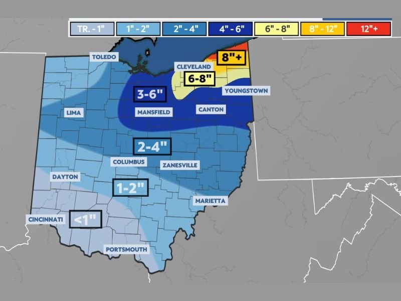
Ohio — Wintry weather will take hold across the state over the next 48 hours as two clipper-type systems move through, bringing multiple rounds of light to moderate snow and creating potentially dangerous travel conditions ahead of New Year’s Eve celebrations. Weather data shows that while accumulations will vary across Ohio, the heaviest snowfall is expected from central to northeast Ohio, with the Snowbelt receiving the most significant totals.
These clippers are fast-moving but moisture-efficient, meaning each system can deliver quick bursts of accumulating snow before exiting. Together, they are expected to produce widespread winter impacts that will affect evening commutes, overnight travel, and New Year’s Eve plans.
First Clipper Arrives Overnight With Light Snowfall
The first of the two systems is already moving into Ohio, spreading light snow from tonight into very early Wednesday morning. Although limited in intensity, it is expected to coat roads quickly—especially untreated surfaces.
Forecast data indicates:
- Northern Ohio: Around 1 to 2 inches of accumulation
- Northeast Ohio: Slightly higher totals possible due to localized enhancement
This initial snowfall will set the stage for more widespread impacts when the second system arrives later Wednesday.
Second Clipper Expected Wednesday Afternoon With Broader Impacts
The second system is forecast to enter after 1–2 p.m. Wednesday, bringing another round of light to briefly moderate snowfall. This clipper will affect a much larger portion of the state, with snowfall rates occasionally increasing during the afternoon and evening hours.
Expected accumulations from the second wave include:
- Central to Northeast Ohio: 1 to 3 inches of new snow
- Northeast Ohio Snowbelt: Potential for higher totals, adding to already accumulating snow
With both systems combined, several regions—particularly the Snowbelt—may see noticeable snowfall totals by Thursday morning.
Snowbelt Communities Face Elevated Totals
As usual with winter patterns involving clippers and lake-effect support, the Snowbelt of northeast Ohio remains the region most likely to experience higher-end snowfall. Local enhancement could push totals above forecast averages, creating more significant travel challenges and slower road recovery. These areas should prepare for reduced visibility, slippery roads, and snow that may continue to accumulate even between the two systems.
New Year’s Eve Travel Likely to Be Impacted
Those planning to attend New Year’s Eve events should be ready for wintry road conditions across much of Ohio. Even though snowfall rates are not expected to be extreme, the timing—coinciding with afternoon and evening travel—poses risks statewide.
Residents should expect:
- Snow-covered or slushy roads
- Slower travel times
- Rapid changes in visibility during heavier bursts
Motorists are urged to exercise caution and plan for additional travel time as conditions evolve through Wednesday night.
What’s Next for Ohio Weather
Snow from the second clipper will gradually diminish late Wednesday night into early Thursday. However, lingering cold air may allow scattered flurries to persist, particularly in northern regions. For continued coverage of developing winter weather and regional impacts, follow updates at NapervilleLocal.com, where detailed reports and forecast changes will be posted as conditions evolve.

I’ve lived in Naperville long enough to see how quickly our community changes — from new developments downtown to sudden shifts in our Midwest weather. Reporting on Naperville news and daily forecasts gives me the chance to keep neighbors informed about what really matters. My goal is simple: deliver clear, timely updates so you always know what’s happening in our city and what to expect from the skies above.