
Omaha Weather: Record Heat Possible To Start October, Rain Chances Early Next Week
OMAHA, NE — The start of October is bringing summer-like heat to eastern Nebraska, with forecasters warning that record highs could be reached this weekend before a major cooldown early next week.
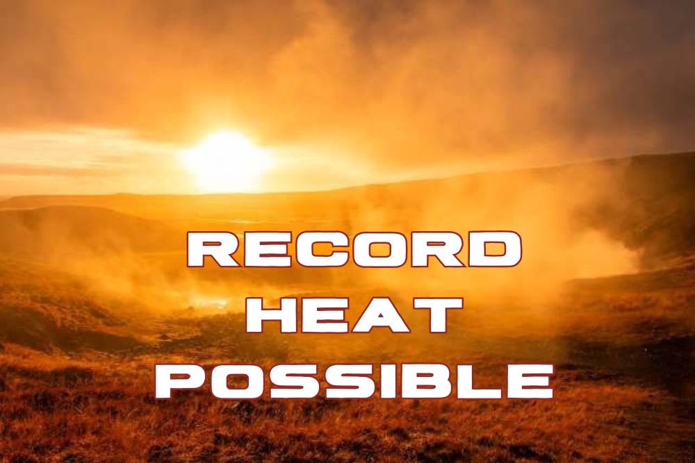
Record Heat Possible Saturday
Meteorologists at KETV Omaha’s Weather Leader are forecasting highs in the low to mid-90s on Saturday, with the best chance of breaking a record coming on October 4, when Omaha’s previous high of 92°F (set in 2005) could be tied or surpassed.
The all-time October record high for Omaha is 96°F, reached twice — first on October 3, 1938, and again just last year on October 5, 2024.
Nearby areas like Lincoln will also see hot and windy conditions Saturday as Nebraska hosts Michigan State for its weekend matchup, likely making it feel more like mid-summer than early fall.
Storm Chances Early Next Week
The unseasonably warm stretch will end as a cold front moves through the area Monday into Tuesday. The National Weather Service and KETV forecasters have labeled both days as impact weather days, with scattered showers and thunderstorms possible.
While it’s still too early to determine the severity of any storms, meteorologists expect the system to usher in cooler and more seasonal fall air.
Cooler Temperatures Return
Behind the front, temperatures will drop back into the 70s by midweek, ending the heatwave that has gripped much of eastern Nebraska. Overnight lows will settle in the 50s, offering a more comfortable return to typical early-October weather.
Residents are advised to stay hydrated, avoid prolonged outdoor exposure during Saturday’s peak heat, and secure outdoor items ahead of next week’s windy and stormy conditions.
Do you enjoy Nebraska’s warm fall streaks, or are you ready for the return of sweater weather? Share your thoughts and weekend weather photos with us at NapervilleLocal.com, where we bring you the latest forecasts and community updates from across the Midwest.

I’ve lived in Naperville long enough to see how quickly our community changes — from new developments downtown to sudden shifts in our Midwest weather. Reporting on Naperville news and daily forecasts gives me the chance to keep neighbors informed about what really matters. My goal is simple: deliver clear, timely updates so you always know what’s happening in our city and what to expect from the skies above.