
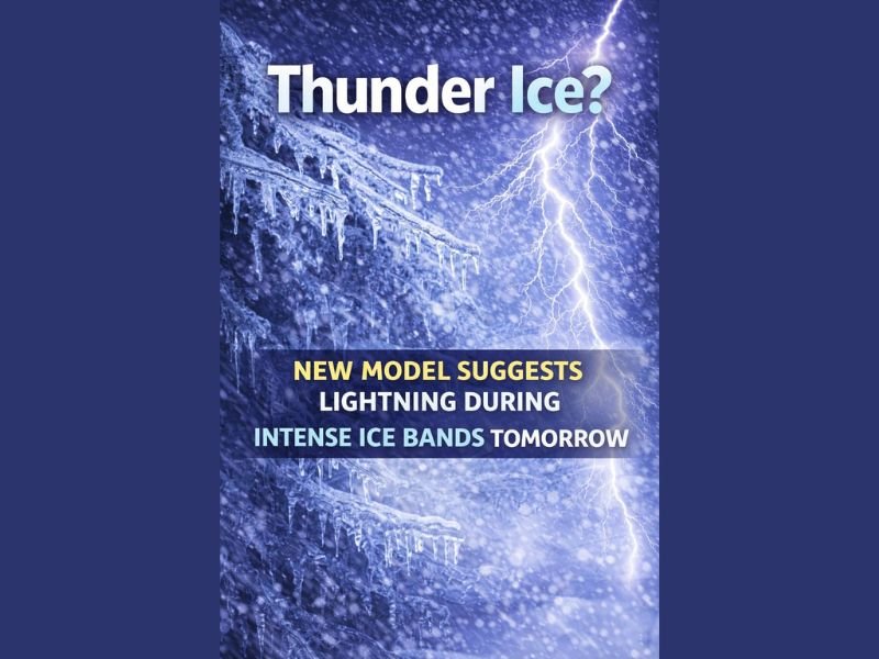
United States Winter Storm Escalates as Rare “Thunder Ice” Signal Points to Dangerous Freezing Rain Event
UNITED STATES — A powerful winter storm is intensifying across parts of the country, with meteorologists now warning of a rare and dangerous setup known as “thunder ice.” Forecast guidance shows intense precipitation bands combined with strong upper-level energy, creating conditions capable of producing lightning and thunder while surface temperatures remain below freezing. Unlike warm-season storms, any precipitation in this environment would fall as freezing rain, not liquid rainfall.
This signal indicates the storm is becoming more severe, with freezing rain increasingly favored as the dominant precipitation type, raising the risk of widespread ice accumulation and prolonged power outages.
Thunder Ice Signals an Unusually Strong Winter System
Thunder ice is not a routine winter phenomenon. It occurs when atmospheric energy typically associated with thunderstorms overlaps with cold, sub-freezing air near the surface. In this case, strong upper-level dynamics may allow convective bands to develop within freezing rain, producing lightning and thunder despite winter temperatures.
The presence of this signal suggests the storm has enough energy to generate intense precipitation rates, increasing the likelihood of rapid ice buildup rather than lighter, manageable icing.
Freezing Rain Becomes the Primary Concern
Forecast guidance continues to trend away from snow and toward freezing rain as the dominant precipitation type across much of the affected region. This shift is critical because freezing rain creates far greater damage potential than snow.
When freezing rain falls, supercooled droplets instantly freeze on contact with exposed surfaces, coating trees, power lines, roads, and buildings with ice. Even moderate amounts can lead to severe impacts when combined with long duration or repeated precipitation bands.
Power Outages Pose the Greatest Risk
The most serious concern tied to this evolving storm is power infrastructure damage. Ice accumulation adds significant weight to trees and power lines, increasing the likelihood of failures.
Key impacts associated with prolonged freezing rain include:
- Tree limbs snapping under ice weight
- Power lines sagging or breaking
- Extended outages due to hazardous repair conditions
Unlike snowstorms, ice-related damage often worsens after precipitation ends, as weakened structures fail hours or even days later.
Long-Lasting Impacts Possible
Meteorologists describe this setup as dangerous because of its potentially long-lasting effects. If freezing rain persists as expected, recovery efforts could be delayed, especially if cold temperatures continue or additional precipitation follows.
Small temperature changes remain critical. Even a shift of one or two degrees can determine whether areas experience manageable conditions or significant ice damage, adding uncertainty to exact impact locations.
What to Watch Going Forward
More forecast updates are expected as newer model data refines the placement and intensity of freezing rain bands. The key signals meteorologists are watching include the persistence of freezing rain, the strength of convective energy, and whether lightning-producing bands materialize.
Residents in the storm’s path are urged to remain alert, prepare for possible power disruptions, and closely follow official updates as conditions evolve.
This storm is showing signs of strengthening rather than weakening, and the emergence of a thunder ice signal underscores how volatile and high-impact this winter event could become.
For continued weather updates and responsible storm coverage as new information becomes available, stay connected with NapervilleLocal.com.

I’ve lived in Naperville long enough to see how quickly our community changes — from new developments downtown to sudden shifts in our Midwest weather. Reporting on Naperville news and daily forecasts gives me the chance to keep neighbors informed about what really matters. My goal is simple: deliver clear, timely updates so you always know what’s happening in our city and what to expect from the skies above.