
Washington Windstorm Roars Across Chinook Pass and Snoqualmie Summit With Extreme 126 MPH Gusts Recorded in the Cascades
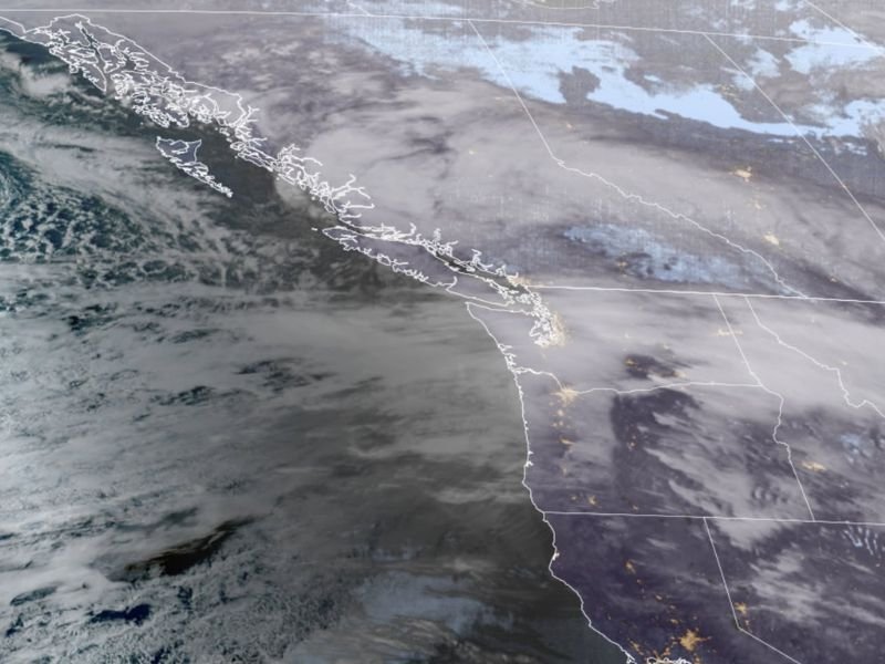
CHINOOK PASS SUMMIT, WASHINGTON — A powerful windstorm driven by a strong jet stream slammed into the Pacific Northwest Wednesday evening, producing an extreme 126 mph wind gust at Chinook Pass Summit in the Cascade Mountains.
The dramatic wind reading was recorded at the Chinook Pass wind gauge located around 6,240 feet in elevation, highlighting the intense conditions impacting mountain areas across Washington.
Extreme Wind Speeds Reported Across Washington
Weather stations across western Washington recorded numerous strong wind gusts as the storm intensified during the evening hours.
Among the highest wind speeds reported as of 8 p.m.:
- Chinook Pass Summit: 126 mph
- Alpental at Snoqualmie Summit: 94 mph
- Cape Disappointment: 69 mph
- Hoquiam: 61 mph
- Freeland: 57 mph
- Bellevue: 52 mph
- Everett: 52 mph
- Forks: 51 mph
- North Bend: 51 mph
- Kingston: 50 mph
- Seattle: 47 mph
- Gig Harbor: 45 mph
These widespread wind reports show how the storm is impacting both mountain and coastal areas as well as cities across western Washington.
Blizzard Conditions in the Cascade Mountains
The extreme winds over the higher terrain help explain why blizzard warnings have been issued across parts of the Cascade Mountains throughout the day.
High-elevation areas such as Chinook Pass and Snoqualmie Summit are particularly vulnerable to intense winds during Pacific Northwest windstorms because of the strong jet stream flow over the region. In these locations, wind speeds can increase dramatically as air is forced over the mountain terrain.
Why the Storm Is Producing Such Strong Winds
Interestingly, meteorologists say the storm producing the winds is not an unusually deep low-pressure system. Early observations indicate the low-pressure center moving into British Columbia has a central pressure around 998 to 1000 millibars, which is not especially intense for Pacific Northwest storms. However, a large pressure difference across the region is creating unusually strong winds.
Pressure Gradient Driving the Windstorm
One key factor is the pressure gradient between Portland, Oregon, and Bellingham, Washington, which reached about +14.30 millibars during the evening. Typical windstorms in the region often produce pressure differences closer to 12 or 13 millibars, meaning the current setup is generating stronger winds than usual.
Meteorologists also point to very strong jet stream winds and a large high-pressure area across much of the western United States, which together are helping accelerate the winds across Washington.
Windstorm Expected to Continue Through the Evening
With the peak of the windstorm still unfolding, forecasters say strong winds could continue across parts of western Washington for several more hours.
Communities including Seattle, Bellevue, Everett, and coastal areas such as Hoquiam and Cape Disappointment may continue experiencing gusty conditions as the storm progresses. Meteorologists will continue monitoring wind reports across the Pacific Northwest as the powerful wind event moves through the region.

I’ve lived in Naperville long enough to see how quickly our community changes — from new developments downtown to sudden shifts in our Midwest weather. Reporting on Naperville news and daily forecasts gives me the chance to keep neighbors informed about what really matters. My goal is simple: deliver clear, timely updates so you always know what’s happening in our city and what to expect from the skies above.