
New Year’s Day Weather Models Show Potential 2026 Snow as Bitter Cold and Wind Advisories Approach
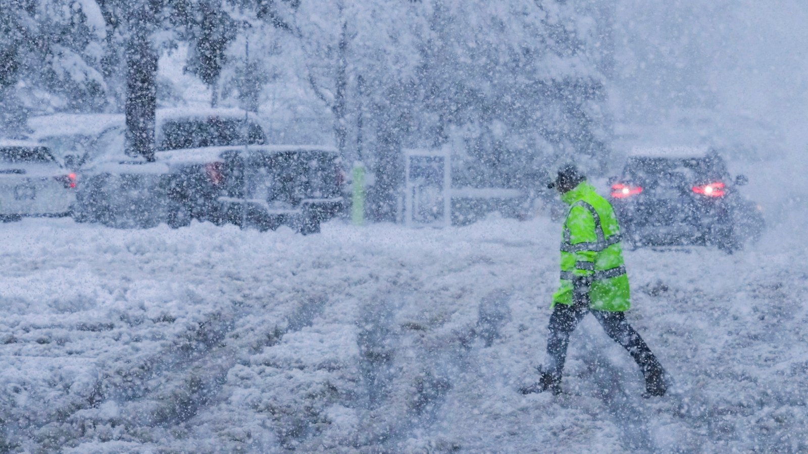
UNITED STATES — Early weather data is highlighting a developing pattern that could bring snow on New Year’s Day 2026, along with bitter cold and a wind advisory already in place for Monday. The system shown in model guidance displays widespread snow across several northeastern regions, signaling a potentially active start to the new year. Forecasters note that while confidence is still evolving, the weather setup is becoming increasingly noteworthy as temperatures drop sharply this week.
The hour-by-hour model image shared in the data shows early-morning snowfall spreading across cities such as Philadelphia, Allentown, Trenton, Wilmington and Atlantic City, with temperatures ranging from the low 20s to mid-30s. This suggests a wintry mix favoring snow for inland areas and colder rain or mixed precipitation closer to the coast.
Model Imagery Shows Widespread Snow Potential
Based on the provided forecast graphics, much of the region falls under a broad snow shield by Thursday morning. Locations including Reading, Lansdale, Coatesville, Millville and Barnegat Light show temperatures below freezing, increasing confidence that precipitation will fall as snow rather than rain.
The model timing hints at a fast-moving system capable of producing several hours of steady snowfall. Although precise accumulations are not shown, the widespread blue shading indicates a scenario where measurable snow is possible if atmospheric conditions hold.
Forecasters caution that long-range snow forecasts often shift, but the signal is strong enough to warrant attention heading into New Year’s week.
Bitter Cold Set to Return Ahead of the Holiday
In addition to the snow signal, meteorologists warn that bitter cold will make a strong return during the days leading up to New Year’s Day. Temperature readings shown in the map suggest a broad area of sub-freezing conditions across interior regions, with coastal areas only slightly above freezing.
This drop in temperatures increases the likelihood that any moisture arriving with the developing system could fall as wintry weather. The pattern also raises concerns about icy travel conditions during one of the busiest travel periods of the holiday season.
Wind Advisory Issued for Monday
A wind advisory is also in effect for Monday, bringing another layer of weather hazards prior to the potential New Year’s event. Strong winds can lead to reduced visibility, scattered power disruptions, and challenging conditions for drivers, especially high-profile vehicles.
The combination of strong winds, increasing cold, and a developing storm system suggests a dynamic pattern that may intensify as the week progresses.
Why New Year’s Day Weather Is Attracting Attention
Forecasters say the reason this early-January setup is drawing interest is the alignment of several key ingredients:
- Colder air sliding into the region
- Increasing storm energy from the west
- A track supportive of widespread precipitation
If these elements line up, New Year’s Day 2026 could bring the first significant snowfall of the year to some areas. However, meteorologists continue to emphasize that long-range projections remain subject to change as higher-resolution data becomes available.
In the days ahead, weather models will offer clearer insight into how this potential system may evolve, and whether snow will be widespread or more localized. NapervilleLocal.com will continue tracking updates as the cold pattern strengthens and forecasts sharpen for the first week of 2026, so check back for the latest winter weather developments and model shifts across the region.

I’ve lived in Naperville long enough to see how quickly our community changes — from new developments downtown to sudden shifts in our Midwest weather. Reporting on Naperville news and daily forecasts gives me the chance to keep neighbors informed about what really matters. My goal is simple: deliver clear, timely updates so you always know what’s happening in our city and what to expect from the skies above.