
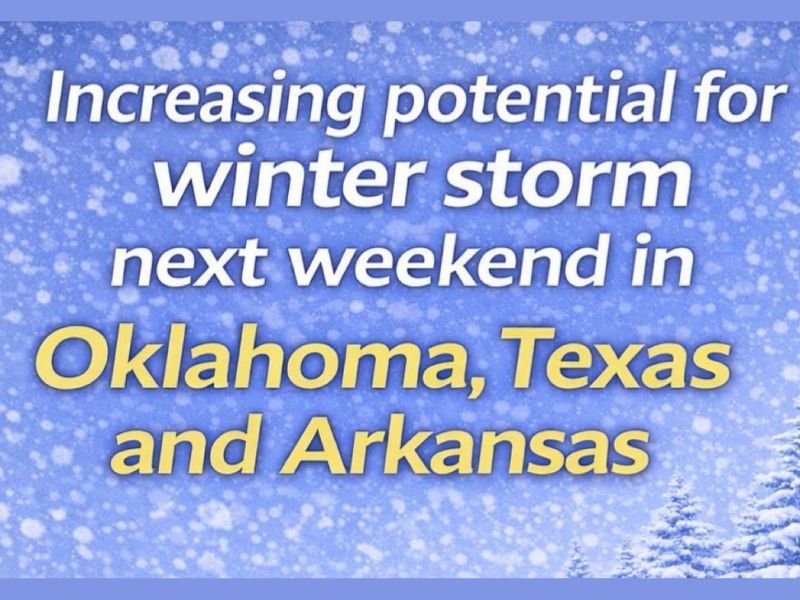
Oklahoma, Texas, and Arkansas Could Be Setting the Stage for a Late-Week Winter Storm as Early Signals Begin to Align
SOUTH-CENTRAL U.S. — Early atmospheric signals are beginning to show up in the data that point toward the potential development of a winter storm next weekend, with parts of Oklahoma, Texas, and Arkansas emerging as areas to watch closely as the week unfolds.
Meteorologists stress that nothing is locked in yet, but the overall setup is becoming noticeable enough to warrant increased attention.
What the Data Is Hinting at Right Now
While exact details remain uncertain, the pattern showing up in the guidance suggests the type of setup that can evolve into a meaningful winter weather event.
Key elements still being refined include:
- Storm track
- Timing
- Precipitation type, including the rain-versus-snow line
At this stage, the signal is broad and low-confidence, but it is persistent enough that forecasters are flagging it as something worth monitoring rather than dismissing.
Areas Most Likely to Be Impacted If the Trend Holds
If the current pattern continues to sharpen, parts of Oklahoma, Texas, and Arkansas could see impacts next weekend. Exactly where the heaviest precipitation sets up — or whether cold air arrives in time for snow — remains unclear.
Forecasters emphasize that small shifts in temperature or storm track could dramatically change outcomes, especially across southern and central portions of the region.
Why Confidence Is Still Low — but Rising
This is a classic early-range winter signal scenario:
- Models are beginning to recognize a storm opportunity
- Details are still buried in noise
- Confidence typically improves within 4–5 days of the event
Meteorologists will be watching upcoming model runs to separate what’s real versus what fades, especially as higher-resolution data comes into play later in the week.
The Bottom Line
There is no guarantee of a winter storm, but the setup developing in the data is one that deserves attention. Residents across Oklahoma, Texas, and Arkansas should remain weather-aware and expect clearer answers as confidence improves in the coming days.
For continued tracking of developing winter patterns, forecast breakdowns, and clear explanations as confidence builds, stay connected with NapervilleLocal.com and check back for updates as the picture becomes clearer.

I’ve lived in Naperville long enough to see how quickly our community changes — from new developments downtown to sudden shifts in our Midwest weather. Reporting on Naperville news and daily forecasts gives me the chance to keep neighbors informed about what really matters. My goal is simple: deliver clear, timely updates so you always know what’s happening in our city and what to expect from the skies above.