
Northeast U.S. Braces for a “One-Two Punch” Winter Setup as First System Lingers Through Saturday and a Bigger Coastal Storm Threatens Sunday Into Monday
UNITED STATES — Confidence is increasing in a potential one-two punch winter setup for the Northeast, with a first system impacting the region today through Saturday before attention quickly shifts to a potentially more significant winter storm Sunday into Monday, especially for coastal areas where wind impacts could intensify.
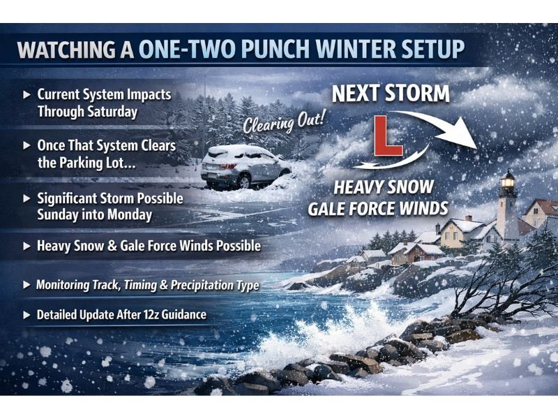
Forecasters monitoring the pattern say the first round brings its own set of travel concerns and accumulation issues, but the bigger headline may come after it exits. Early indications suggest the next storm could produce accumulating snow alongside strong, possibly gale-force winds near the coast, creating the additional risk of blowing and drifting snow if current trends hold.
First System Through Saturday: Travel and Accumulation Concerns
The near-term focus remains the system already affecting the region, expected to continue causing periodic winter impacts through Saturday. While this first round is not being dismissed, the messaging emphasizes that it has its “own set” of concerns—meaning travel slowdowns, slippery roads, and localized accumulation issues can still develop while the region is also watching the next wave.
In scenarios like this, even moderate snowfall can create problems when it overlaps with peak travel times, lower visibility bursts, or temperature swings that lead to quick refreezes. Residents should plan for changing road conditions through Saturday before the pattern attempts to “clear out.”
Sunday Into Monday Could Be the Bigger Hit, Especially Along the Coast
Once the first system “clears the parking lot,” attention shifts rapidly to what could be a more impactful storm window Sunday into Monday. The core concern is a storm that strengthens enough to generate heavier snowfall while also producing strong winds—an outcome that can turn a basic snow event into a more disruptive situation.
Early forecast signals point to:
- Accumulating snowfall becoming more widespread
- Strong winds near the coast, potentially reaching gale-force levels
- Blowing and drifting snow if heavier snow overlaps with peak winds
This is the type of setup where travel impacts can escalate quickly, particularly in exposed areas where wind can reduce visibility and push snow back onto cleared roadways.
Key Forecast Questions: Track, Timing, and Precipitation Type
Despite growing confidence in the overall one-two punch pattern, several details still need refinement. Forecasters are closely watching:
- The exact track of the low, which can shift the heaviest snow band
- The timing of peak precipitation, especially for Sunday into Monday planning
- Thermal profiles in southern zones, which could affect precipitation type and totals
The update stresses that small adjustments in the storm’s path may have meaningful impacts on both snowfall totals and wind intensity, particularly for coastal communities.
What Residents Should Do Now
With a two-step pattern unfolding, preparation is about staying flexible. Keep travel plans adjustable, monitor updates frequently, and be ready for changing conditions as new guidance arrives. Forecasters indicated a more comprehensive update is expected after the next major model guidance becomes available.
For more weather coverage written in a clear, local-news format with ongoing updates as forecast confidence improves, visit NapervilleLocal.com.

I’ve lived in Naperville long enough to see how quickly our community changes — from new developments downtown to sudden shifts in our Midwest weather. Reporting on Naperville news and daily forecasts gives me the chance to keep neighbors informed about what really matters. My goal is simple: deliver clear, timely updates so you always know what’s happening in our city and what to expect from the skies above.