
New England Winter Refuses to Let Go as Snow, Sleet and Freezing Rain Threaten Southern New England Through Midweek
NEW ENGLAND — Even as Meteorological Spring officially begins March 1, winter conditions are far from finished across the region. Forecasters caution that multiple snow and ice chances remain on the table for March, and the first half of the month may feature several impactful systems.
Despite increasing sun angle and longer daylight, New England often sees winter weather linger into April. Current projections reinforce that seasonal reality, with accumulating snow and icing threats developing as early as Tuesday.
Tuesday Into Wednesday: Snow Changing to Sleet and Rain
A fast-moving system late Tuesday morning into the afternoon could deliver a burst of snow across southern New England, potentially creating a slick coating before transitioning to sleet and rain.
Areas of Connecticut, Rhode Island and Massachusetts appear most likely to see the initial snow. As warmer air moves in aloft, precipitation is expected to mix with sleet and possibly freezing rain during the late afternoon into evening hours.
There is concern that the system may pull in slightly colder air than currently modeled, which would increase the risk of icing in portions of southern New England. Even minor ice accumulation can lead to hazardous travel conditions, particularly on untreated roads and elevated surfaces.
Heavier Snow Potential Thursday Night Into Friday
A second system is projected for Thursday night into Friday, and this one is trending colder. Early indications suggest it could bring heavier snowfall totals across parts of New England, along with another icing component.
While exact snowfall amounts remain uncertain and will depend on storm track and temperature profiles, guidance shows notable accumulation potential across interior sections of Massachusetts, Connecticut and possibly southern New Hampshire.
If colder air holds in place, this system may produce more widespread snow rather than a quick changeover to rain.
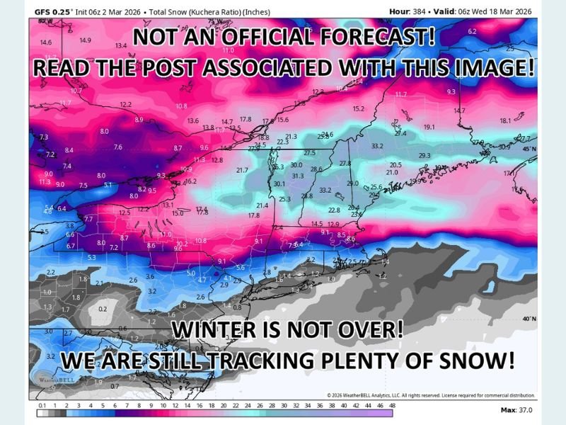
Winter Mode Still Active
Meteorologists emphasize that winter precipitation remains a real and active concern for the region. March systems can often be deceptively impactful, especially when marginal temperatures allow rapid shifts between snow, sleet and rain.
Travel disruptions are possible during both systems, particularly Tuesday afternoon and again late Thursday into Friday.
Although longer-range confidence drops off heading into next week, the upcoming weekend currently appears drier. However, forecast details may shift as models refine the evolving pattern. For continued updates on developing winter weather threats and regional forecasts, visit NapervilleLocal.com for the latest coverage.

I’ve lived in Naperville long enough to see how quickly our community changes — from new developments downtown to sudden shifts in our Midwest weather. Reporting on Naperville news and daily forecasts gives me the chance to keep neighbors informed about what really matters. My goal is simple: deliver clear, timely updates so you always know what’s happening in our city and what to expect from the skies above.