
Temperatures Surge Back Into the 70s and Near 80 Degrees Late This Week as Classic Spring Thunderstorm Pattern Develops
UNITED STATES — After a cooler stretch, a dramatic warm-up is expected to take hold late this week, with temperatures climbing back into the 70s and even pushing toward 80 degrees in some areas. But the return of springlike warmth will not come quietly.
Forecasters say the developing pattern resembles a classic late-spring setup — one where rising temperatures and increasing moisture combine to produce scattered afternoon and evening thunderstorms.
Back to the 70s — And Possibly 80
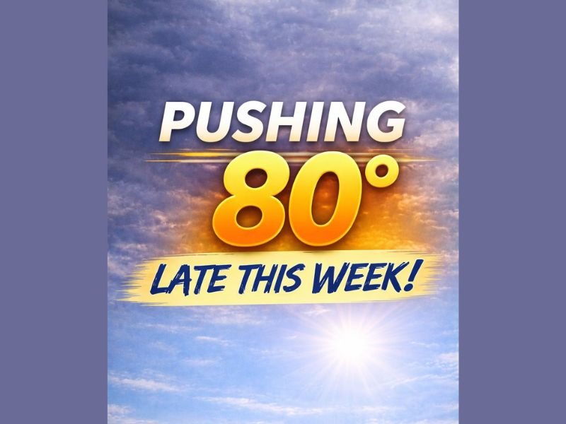
By the end of the week, many locations are forecast to see highs rebound sharply. Temperatures that recently trended cooler are expected to climb into the mid to upper 70s, with some spots nearing the 80-degree mark.
This type of quick temperature swing is common during early to mid-spring, when stronger sun angles and shifting jet stream patterns allow warm air to surge northward rapidly. The warming trend will likely feel dramatic, especially following days of cooler or unsettled conditions.
Warmth Comes With Storm Chances
However, the same atmospheric setup driving the warmth is also expected to support scattered thunderstorms, particularly during the afternoon and early evening hours.
As daytime heating increases instability, isolated to scattered storms may develop. These will likely be hit-or-miss in nature, meaning not everyone will see rain, but those that do could experience brief downpours, gusty winds and lightning.
This pattern often repeats for several days when high pressure to the south pumps warmth northward while weak disturbances pass through the upper levels of the atmosphere.
Classic Spring Transition Pattern
The evolving setup reflects a seasonal shift toward more typical late-spring behavior. Longer daylight hours, warmer surface temperatures and increasing moisture levels all contribute to the development of pop-up storm activity.
While widespread severe weather is not indicated in the current outlook, scattered thunderstorms are a common companion to rapid warm-ups this time of year.
Residents should plan for warm afternoons but remain aware that skies could turn stormy quickly in spots. For ongoing updates on temperature trends and spring storm developments, visit NapervilleLocal.com for the latest forecasts and regional coverage.

I’ve lived in Naperville long enough to see how quickly our community changes — from new developments downtown to sudden shifts in our Midwest weather. Reporting on Naperville news and daily forecasts gives me the chance to keep neighbors informed about what really matters. My goal is simple: deliver clear, timely updates so you always know what’s happening in our city and what to expect from the skies above.