
Wyoming Weather Alert: Strong Storms With Hail and 60 MPH Winds Expected Wednesday Afternoon
CHEYENNE, WYOMING — The National Weather Service in Cheyenne has issued a Marginal Risk (Level 1 of 5) for severe weather Wednesday afternoon across southeast Wyoming and parts of the Nebraska Panhandle, with storms expected to intensify between 3 p.m. and 8 p.m.
Hail and High Winds Likely in Afternoon Storms
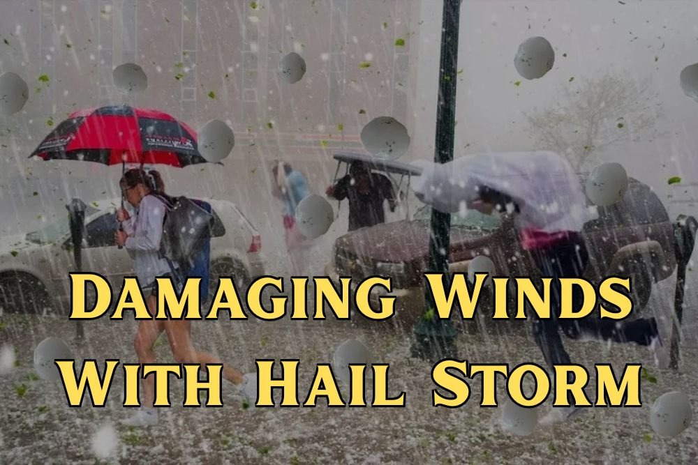
Forecasters say the most severe storms could produce hail up to one inch in diameter, wind gusts exceeding 60 mph, and brief heavy rainfall capable of reducing visibility on major highways.
Areas most at risk include Wheatland, Torrington, Douglas, and Lusk, Wyoming, as well as Scottsbluff, Chadron, Sidney, and Alliance, Nebraska.
Drivers along Interstate 25 and Interstate 80 should use extra caution during the evening commute, as gusty winds and heavy downpours could make travel difficult.
Evening Showers Continue Overnight
While isolated thunderstorms may linger after sunset, the primary severe threat will diminish after 8 p.m., according to the NWS Cheyenne forecast team. Light rain and intermittent showers could continue into the overnight hours, followed by clearing skies early Thursday.
Safety Reminders
Residents are advised to secure outdoor furniture, decorations, and light equipment ahead of the storm system’s arrival. The NWS also recommends seeking shelter indoors during thunderstorm activity and avoiding travel during peak storm intensity whenever possible.
Meteorologists will continue to monitor developing storm cells throughout the evening and issue additional warnings or advisories if conditions worsen.
Stay updated on more Wyoming weather alerts, travel advisories, and severe storm forecasts at NapervilleLocal.com, your trusted source for regional weather coverage.

I’ve lived in Naperville long enough to see how quickly our community changes — from new developments downtown to sudden shifts in our Midwest weather. Reporting on Naperville news and daily forecasts gives me the chance to keep neighbors informed about what really matters. My goal is simple: deliver clear, timely updates so you always know what’s happening in our city and what to expect from the skies above.