
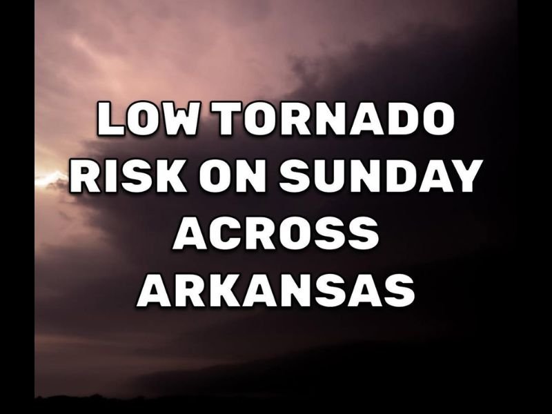
Low But Non-Zero Tornado Risk Across Arkansas With Western and Northwest Counties Watched Most Closely Sunday Afternoon
ARKANSAS — A low tornado risk is in place across Arkansas Sunday afternoon, with the Arkansas Weather Network monitoring any storms that attempt to rotate as spotty to scattered showers and thunderstorms develop statewide. The overall risk is low but not zero, and forecasters are emphasizing that yesterday’s unexpected tornado activity has raised awareness that no storm should be taken for granted regardless of the overall threat level.
Western and northwest Arkansas are being watched most closely, though the entire state carries at least a marginal chance for rotating storm activity through the afternoon.
Western and Northwest Arkansas the Primary Focus Area Sunday Afternoon
The highest attention is directed toward western and northwest Arkansas where atmospheric parameters are most favorable for any storm rotation that develops during the afternoon hours. Forecasters are keeping a close eye on any cells that show signs of organization across this corridor given the tornado activity that occurred Saturday across the state.
While most storms are expected to remain non-severe, the low-end tornado risk means no individual storm can be dismissed without radar evaluation.
Entire State Carries Spotty to Scattered Storm Chances Through the Afternoon
Beyond the primary western focus area, the entire state of Arkansas carries a chance for spotty to scattered showers and thunderstorms Sunday afternoon. Coverage will be uneven across the state meaning some communities will see active weather while neighboring areas stay completely dry.
A few tornado warnings are possible somewhere across the state this afternoon even given the low overall risk designation, reinforcing the need for weather awareness statewide.
Stay Weather Aware Statewide and Have Warnings Ready to Receive
The Arkansas Weather Network will have live radar coverage and monitoring throughout the afternoon and evening hours Sunday as the storm threat evolves. Residents across the entire state are urged to have a weather app with alerts enabled and know their shelter location before storms develop.
Low risk does not mean no risk, and the lessons from Saturday’s unexpected tornado activity serve as a reminder that preparation is always the right approach when any tornado potential exists. Stay with NapervilleLocal.com for the latest weather updates and local forecast coverage.

I’ve lived in Naperville long enough to see how quickly our community changes — from new developments downtown to sudden shifts in our Midwest weather. Reporting on Naperville news and daily forecasts gives me the chance to keep neighbors informed about what really matters. My goal is simple: deliver clear, timely updates so you always know what’s happening in our city and what to expect from the skies above.