
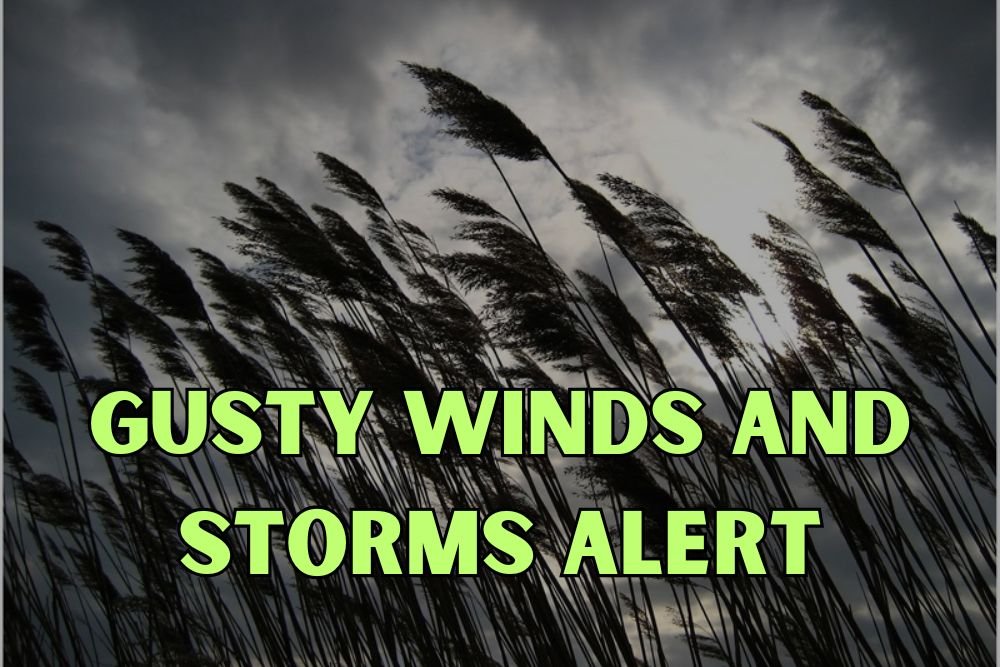
Minnesota Weather Alert: Quick Front Brings Gusty Winds Thursday, Followed by Cooler Weekend Rain
MINNEAPOLIS, Minnesota — A quick-moving cold front is sweeping across Minnesota this afternoon, bringing gusty winds and light rain showers mainly along and east of Interstate 35, according to the National Weather Service in the Twin Cities.
Windy Afternoon With Spotty Showers
Forecasters say winds will gust between 20 and 30 mph through the afternoon as the system moves east. Most areas will see little to no rainfall accumulation, though damp pavement could slow down the evening commute in parts of Rochester, St. Paul, and Minneapolis.
The front is expected to clear the metro by late evening, leaving behind cooler, drier air overnight.
Friday Brings Brighter, Crisper Air
Skies will clear overnight, setting up a bright, breezy Friday with highs in the low to mid-60s across southern Minnesota. Overnight lows will dip into the 40s, with upper 30s possible in outlying towns.
While the system won’t bring a dramatic cooldown, forecasters say residents will notice crisper air for Friday football games, fall festivals, and outdoor events.
Rain Returns Sunday
Winds will ease into Saturday as a new system develops across the Plains, increasing clouds late in the day. That will lead to widespread rain on Sunday, with heavier downpours possible along the I-94 and I-35 corridors through Rochester and Eau Claire.
Motorists should prepare for wet roads Sunday morning, and anyone planning outdoor activities should keep backup plans ready as showers linger into early next week.
True Mid-October Pattern Ahead
Cooler, damp conditions will continue into early next week, marking the beginning of a true mid-October weather pattern — one that may finally put a chill in the air after weeks of unseasonable warmth.
For more Minnesota weather alerts, regional forecasts, and fall updates, visit NapervilleLocal.com.

I’ve lived in Naperville long enough to see how quickly our community changes — from new developments downtown to sudden shifts in our Midwest weather. Reporting on Naperville news and daily forecasts gives me the chance to keep neighbors informed about what really matters. My goal is simple: deliver clear, timely updates so you always know what’s happening in our city and what to expect from the skies above.