
Wyoming, Nebraska, and Kansas Braced for 70 MPH Wind Gusts as Powerful Cold Front Sweeps South Overnight
WYOMING / NEBRASKA / KANSAS — Wind conditions across parts of Wyoming, Nebraska, and Kansas are expected to deteriorate rapidly tonight as a powerful cold front pushes from north to south, triggering dangerous northwest wind gusts reaching up to 70 mph in the most exposed areas.
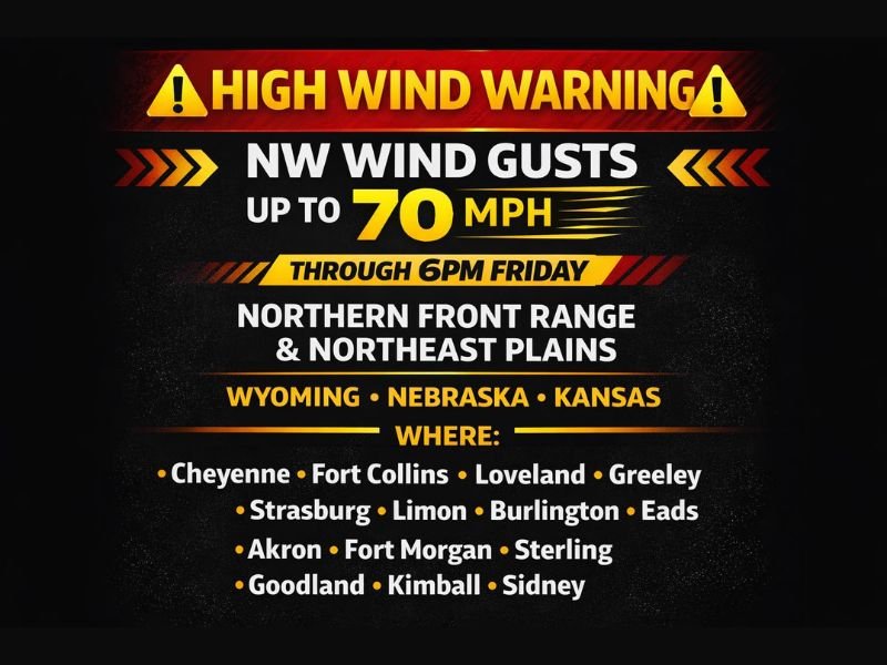
The strongest winds are forecast to impact the Northern Front Range and Northeast Plains, with hazardous conditions expected to persist through 6 p.m. Friday.
Areas Most at Risk for Damaging Wind Gusts
The highest wind potential is focused along and east of the Front Range, extending into the High Plains. Locations highlighted as seeing the strongest gusts include:
- Cheyenne
- Fort Collins
- Loveland
- Greeley
- Strasburg
- Limon
- Burlington
- Eads
- Akron
- Fort Morgan
- Sterling
- Goodland
- Kimball
- Sidney
While these areas are expected to see the worst conditions, strong and gusty winds may occur beyond this list, especially as the cold front continues pushing south.
Why Winds Will Intensify So Quickly
The wind event is being driven by a fast-moving cold front, which is expected to dramatically increase pressure differences across the region. As the front passes, winds will shift to the northwest and rapidly strengthen, producing sudden and forceful gusts.
This type of setup can cause winds to go from blustery to damaging in a short period of time, especially during the overnight and early daytime hours.
Potential Impacts From the High Wind Event
Wind gusts approaching 70 mph can lead to multiple hazards, including:
- Difficult travel for high-profile vehicles
- Blowing dust reducing visibility in open areas
- Downed tree limbs and power lines
- Power outages
- Property damage from unsecured objects
Residents in wind-prone areas are advised to secure loose outdoor items and use caution if traveling, particularly on east-west roadways.
Timing and Duration
- Onset: Tonight as the cold front moves south
- Peak impacts: Overnight into Friday
- Expiration: Around 6 p.m. Friday, depending on location
Bottom Line
A significant high-wind event is unfolding across Wyoming, Nebraska, and Kansas, with northwest gusts up to 70 mph expected in the most exposed locations as a strong cold front barrels through the region. Conditions will worsen quickly, and impacts could be serious where winds peak.
NapervilleLocal.com will continue monitoring major weather events across the country and provide updates as new information becomes available.

I’ve lived in Naperville long enough to see how quickly our community changes — from new developments downtown to sudden shifts in our Midwest weather. Reporting on Naperville news and daily forecasts gives me the chance to keep neighbors informed about what really matters. My goal is simple: deliver clear, timely updates so you always know what’s happening in our city and what to expect from the skies above.