
Late-Night Snowstorm Update Shows Storm Staying on Track as Snow Pushes South and Heavier Bands Boost Totals
Eastern United States — A late-night check-in on the ongoing winter storm indicates that conditions remain firmly on track, with snow continuing to spread south through the early morning hours and snowfall totals holding steady across much of the affected region.
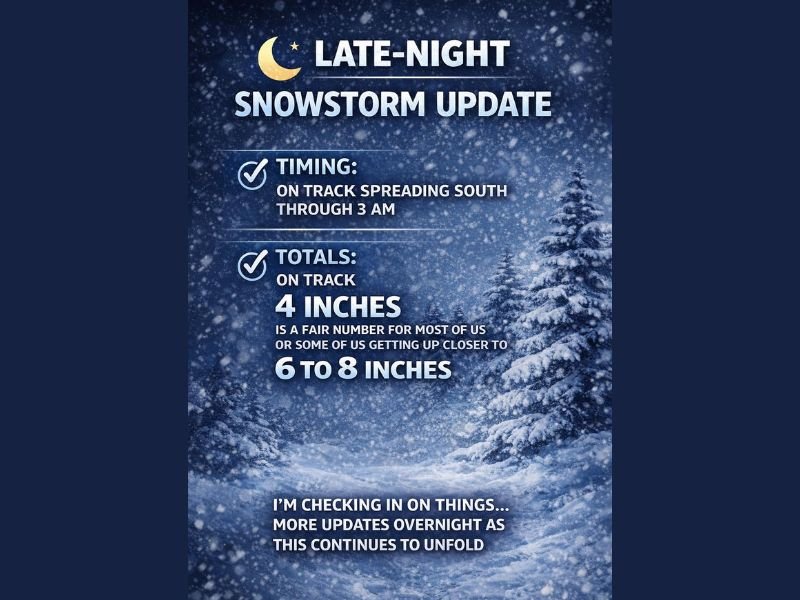
Forecasters monitoring the storm overnight report no major deviations from earlier expectations, reinforcing confidence that the system will continue unfolding as anticipated through the pre-dawn hours.
Snow Timing Remains Consistent Through Early Morning
According to the latest overnight update, snow is expected to continue expanding southward through approximately 3 a.m., with steady coverage persisting as the storm progresses.
This timing suggests that many communities will wake up to accumulating snow already in place, potentially impacting early-morning travel and overnight road conditions.
Snowfall Totals Hold Near 4 Inches for Many Areas
Snow totals remain on track, with 4 inches continuing to be a solid expectation for a large portion of the region. This amount reflects the most widespread outcome based on current trends and overnight observations.
Forecasters note that this level of accumulation aligns well with earlier projections, indicating stability in the storm’s evolution rather than unexpected weakening or rapid intensification.
Localized Heavier Bands Could Push Totals Higher
While 4 inches is expected to be common, localized pockets of heavier snowfall remain possible, particularly where stronger snow bands develop.
In these areas, totals could increase into the 6 to 8 inch range, creating sharper impacts over relatively short distances. These heavier bands may develop quickly and persist long enough to significantly raise local snowfall totals.
Overnight Monitoring Continues as Storm Unfolds
Meteorologists are continuing to monitor conditions throughout the night, watching for changes in band placement and snowfall intensity as the system progresses.
Additional updates are expected overnight as the storm continues to unfold, especially if heavier snow bands become more organized or shift position.
Residents across the impacted region are encouraged to remain alert for further updates as conditions evolve. NapervilleLocal.com will continue following this developing winter storm and provide additional overnight and early-morning updates as new information becomes available.

I’ve lived in Naperville long enough to see how quickly our community changes — from new developments downtown to sudden shifts in our Midwest weather. Reporting on Naperville news and daily forecasts gives me the chance to keep neighbors informed about what really matters. My goal is simple: deliver clear, timely updates so you always know what’s happening in our city and what to expect from the skies above.