
Major Pattern Shift Underway: U.S. Transitions From Prolonged Cold to Milder Setup — But Polar Vortex Signals Could Bring One More Arctic Shot in March
UNITED STATES — A pivotal shift is now unfolding in the overall weather pattern across the country, signaling the end of the long-standing cold-dominated regime and the beginning of a much milder setup.
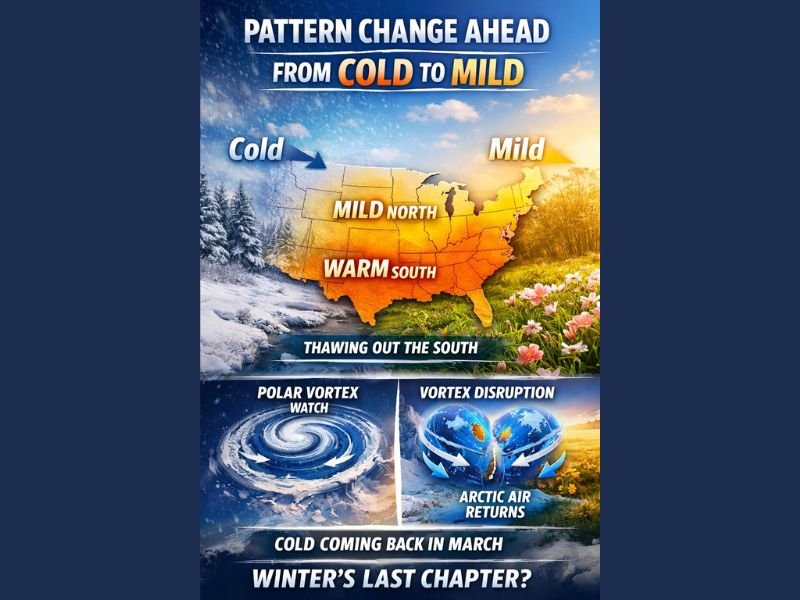
After weeks of persistent cold gripping large portions of the nation, atmospheric signals now strongly support a transition toward warmer conditions — especially across the southern tier of the United States. However, while a meaningful warmup is ahead, winter may not be finished just yet.
From Cold to Mild: A Latitude-Driven Warmup
Unlike Arctic outbreaks that blanket much of the country with uniform cold, this transition will not affect every region equally. The new pattern responds heavily to latitude.
- Southern U.S.: The most pronounced warmth is expected here. Temperatures will rise more noticeably, accelerating snowpack reduction and helping clear lingering winter impacts.
- Mid-Atlantic: Warmer conditions will also expand northward, though with slightly less intensity compared to the Deep South.
- New England and Northern Tier: Temperatures will moderate, but the magnitude of warmth will be less dramatic.
The key takeaway: the farther south you are, the more significant the warmup will feel.
This marks a constructive shift for southern regions, where milder air will help thaw landscapes and transition toward early spring conditions.
Surface Warmth vs. What’s Happening Aloft
While surface temperatures trend milder, attention now turns to the upper atmosphere.
Signals are increasing that renewed activity within the Polar Vortex could lead to a disruption — possibly even a split in the vortex structure. If that occurs, it would favor a downstream response that reintroduces Arctic air into parts of the United States as we move into March.
That doesn’t necessarily mean a repeat of deep-winter intensity, but it does raise the possibility that winter may attempt one final push before spring fully takes control.
Timing Is Everything
In the near term, the pattern relaxes and trends milder, especially across southern states. That shift is already underway.
Beyond that, the atmosphere appears poised to reload winter one more time. The difference this time is seasonal timing. With spring approaching and solar strength increasing, any renewed Arctic surge would be fighting a losing battle.
Meteorologists note that a potential Polar Vortex disruption could actually help drain the remaining reservoir of true Arctic air. If that occurs, it may allow a more permanent seasonal transition afterward.
What This Means Moving Forward
- A meaningful warmup is ahead, particularly in the southern United States.
- Northern regions will moderate but not see dramatic warmth.
- Polar Vortex signals could bring a March cooldown.
- Spring’s increasing sun angle may limit the impact of any late-season Arctic push.
In short, the country is transitioning from cold to mild — but winter may still have one final chapter to write before spring fully claims control. For continued national and regional weather pattern updates, stay connected with NapervilleLocal.com.

I’ve lived in Naperville long enough to see how quickly our community changes — from new developments downtown to sudden shifts in our Midwest weather. Reporting on Naperville news and daily forecasts gives me the chance to keep neighbors informed about what really matters. My goal is simple: deliver clear, timely updates so you always know what’s happening in our city and what to expect from the skies above.