
April 10–16: Texas, Oklahoma, Kansas, Missouri, Illinois and Indiana Brace for Multi-Day Severe Weather Outbreak With Repeated Storm Rounds From Thursday Into Next Week
UNITED STATES — Confidence is rapidly increasing in a highly active and potentially dangerous stretch of weather setting up across the Great Plains and Midwest, with multiple rounds of severe storms expected to begin as early as Thursday and continue into next week.
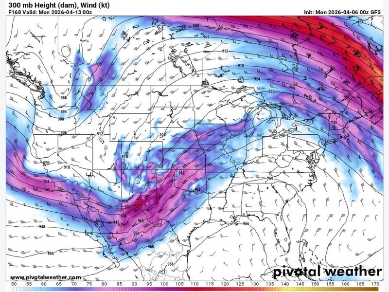
Large-Scale Pattern Signals Major Storm Setup
Weather data shows a developing trough along the West Coast, which will play a key role in fueling this active pattern. This setup allows strong upper-level energy to move across the Plains and Midwest, creating favorable conditions for repeated severe weather events.
At the same time, a strong jet stream pattern will align over the central United States, helping to organize storms and increase their intensity.
Thursday: First Round of Severe Weather Begins
The first round of storms is expected to develop Thursday across parts of the central and southern Plains, including Texas, Oklahoma, and Kansas.
These storms could quickly become severe, with threats including:
- Large hail
- Damaging wind gusts
- Tornado potential
As the system evolves, storms are likely to track eastward into surrounding regions.
Weekend Into Next Week: Repeated Storm Rounds
The concern with this setup is not just one storm system, but multiple waves of severe weather. From Friday through early next week, additional rounds of storms are expected to develop and move across:
- Missouri
- Illinois
- Indiana
- Portions of the Midwest and Ohio Valley
Each wave will bring renewed chances for severe storms, increasing the risk of cumulative impacts over several days.
Why This Pattern Is Concerning
This type of pattern—featuring a persistent trough and strong jet stream support—creates an environment where severe weather can redevelop repeatedly, rather than ending after a single event.
That means:
- Increased chances for multiple severe weather days
- Higher potential for widespread impacts
- Growing risk of overlapping storm damage zones
Timing and Uncertainty Still Being Refined
While confidence is high in an active pattern overall, exact timing and locations of the most intense storms will become clearer in the coming days.
Residents across the Plains and Midwest should stay alert to updated forecasts, as conditions may shift quickly.
Bottom Line
A prolonged severe weather pattern is expected from late this week into next week, impacting multiple states across the central United States. With several rounds of storms likely, this setup has the potential to bring large hail, damaging winds, and tornadoes across a broad region.
Now is the time to review severe weather safety plans and stay informed as this active pattern develops. Stay with NapervilleLocal.com for continuous updates and detailed coverage as this multi-day severe weather threat unfolds.

I’ve lived in Naperville long enough to see how quickly our community changes — from new developments downtown to sudden shifts in our Midwest weather. Reporting on Naperville news and daily forecasts gives me the chance to keep neighbors informed about what really matters. My goal is simple: deliver clear, timely updates so you always know what’s happening in our city and what to expect from the skies above.