
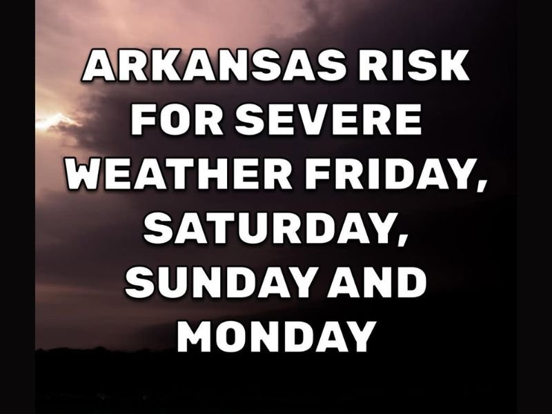
Four Straight Days of Severe Weather Risk Targeting Arkansas Friday Through Monday With Tornadoes, Hail, and Strong Winds Possible Each Day During Peak Twister Season
ARKANSAS — Arkansas is heading into what forecasters are calling the most active severe weather stretch of 2026, with a regional risk for severe weather expected every single day from Friday through Monday. Each day will likely feature a risk somewhere in the state with an all-hazard threat including tornadoes, hail, and strong winds. The next few days remain clear, giving residents a valuable window to prepare before the pattern turns significantly active starting Friday.
Four Consecutive Days of Severe Weather Risk Starting Friday
The four-day severe weather stretch beginning Friday April 24 and running through Monday April 27 is described as likely the most active period for Arkansas during the entire 2026 season so far. This is peak twister season across the state, and the atmospheric setup through the weekend is aligning in a way that keeps the severe weather threat alive and rotating through different parts of Arkansas on a daily basis.
Each day will not necessarily bring statewide severe weather simultaneously, but somewhere within Arkansas a risk for tornadoes, hail, or damaging winds will exist every day through Monday. Residents should remain weather aware throughout the entire four-day window rather than assuming any single day is safe simply because their immediate area was not impacted the day before.
All Hazard Risk Each Day Through the Weekend
The threat profile through the four-day stretch covers all modes of severe weather. Tornadoes, large hail, and strong damaging winds are all possible on individual days across different portions of the state. The specific areas most at risk and the dominant hazards will shift from day to day as the weather pattern evolves, making daily forecast updates critical for residents trying to plan around the active stretch.
Forecasters are specifically emphasizing that this does not mean tornadoes will be occurring non-stop from Friday through Monday, but that the risk will be present somewhere in the state on each of those days.
Enjoy the Clear Days Now and Prepare Starting Today
With the next few days remaining quiet across Arkansas, residents have a clear window to finalize all severe weather preparations before Friday arrives. This means checking weather alert systems, identifying shelter locations, reviewing household emergency plans, and ensuring multiple ways to receive warnings are active and ready.
The four-day nature of this severe weather stretch makes sustained preparedness especially important. Being ready before Friday and staying ready through Monday is the most effective approach given the extended and daily nature of the threat across the state. Stay with NapervilleLocal.com for the latest weather updates and local forecast coverage.

I’ve lived in Naperville long enough to see how quickly our community changes — from new developments downtown to sudden shifts in our Midwest weather. Reporting on Naperville news and daily forecasts gives me the chance to keep neighbors informed about what really matters. My goal is simple: deliver clear, timely updates so you always know what’s happening in our city and what to expect from the skies above.