
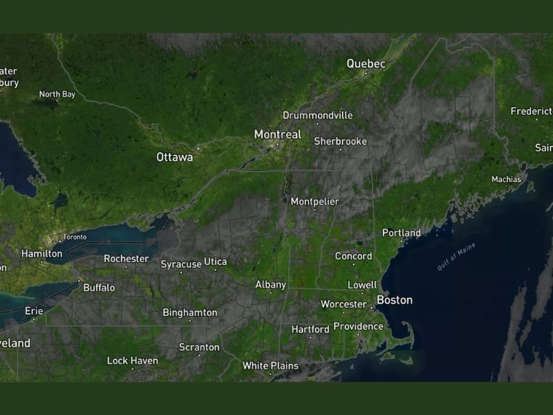
Rain and Snow Mix Possible Late Tuesday Into Wednesday Across New England With Potential Nor’easter Being Watched for Following Saturday
NEW ENGLAND — A cooler and quieter stretch of weather is settling into New England over the next few weeks following the warmth of last week, with no significant severe weather or wind events on the horizon. However, a few notable weather events are worth tracking, including a probable light rain and snow mix event for late Tuesday into Wednesday, some showers Thursday, and a potential nor’easter being monitored for the following Saturday timeframe across the region.
Cooler Pattern Settles In Through the Coming Weeks
After the high 70s and 80s that dominated New England last week, the next few weeks will trend noticeably cooler across Maine, New Hampshire, Vermont, Massachusetts, Rhode Island, and Connecticut. Temperatures will settle back to more typical late April readings without anything extraordinary in either direction for precipitation or temperature during the baseline period.
No significant severe weather concerns are on the forecast board for the region, and no major wind events are anticipated through the immediate week ahead — a welcome contrast to the active severe weather pattern that has been hammering the Midwest and central United States throughout April.
Rain and Snow Mix Possible Late Tuesday Into Wednesday
The first notable weather event arrives late Tuesday into Wednesday, when a probable light rain and snow mix is expected to push through the region. Given the cooler air mass in place across New England, snow mixing in with rain is plausible particularly at higher elevations across Vermont, New Hampshire, and Maine during this event.
Accumulations are not expected to be significant but residents at elevation should be aware of the possibility of light snow mixing in during the Tuesday night and Wednesday timeframe.
Thursday Brings Additional Shower Chances
Following the Tuesday night into Wednesday mix event, another round of shower activity is possible across New England on Thursday. This additional precipitation opportunity will keep the week on the wetter side overall, though no severe weather concerns are associated with either the midweek or Thursday events.
The pattern through the week represents a fairly typical late April New England setup with periodic light precipitation events rather than any prolonged or significant storm activity.
Potential Nor’easter Being Watched for Following Saturday
The most significant and uncertain weather item on the New England horizon is a potential nor’easter being monitored for the Saturday timeframe following the current week. Nor’easters can bring significant wind, rain, and depending on temperatures, snow to portions of New England, making this a system worth tracking closely as the period approaches.
Details on the potential nor’easter remain limited given the extended timeframe, and forecasters will be refining the outlook significantly as the week progresses and confidence in the Saturday system increases. Stay with NapervilleLocal.com for the latest weather updates and local forecast coverage.

I’ve lived in Naperville long enough to see how quickly our community changes — from new developments downtown to sudden shifts in our Midwest weather. Reporting on Naperville news and daily forecasts gives me the chance to keep neighbors informed about what really matters. My goal is simple: deliver clear, timely updates so you always know what’s happening in our city and what to expect from the skies above.