
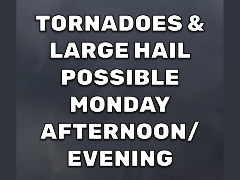
Tornadoes and Baseball-Size Hail Possible Across Arkansas This Monday Afternoon and Evening With Highest Risk in Central and Northeast Arkansas
ARKANSAS — Significant severe weather is possible across Arkansas this Monday afternoon and evening, with scattered supercell thunderstorms capable of producing large to extremely large hail up to baseball size and a few tornadoes. Storm formation is expected by late afternoon at the earliest, with additional storm development continuing into the evening hours. While the entire state carries some level of risk, the highest concentration of severe weather potential is focused across central, north central, northeast, and eastern Arkansas.
Supercell Thunderstorms Expected to Fire Late Afternoon Into Evening Hours
Scattered storms are forecast to develop across Arkansas beginning in the late afternoon, with some of those storms capable of organizing into supercells given the atmospheric energy in place today. The timing of storm initiation means the threat will likely peak during the evening hours, when instability and wind shear remain favorable for severe storm maintenance.
Not every community will see storm activity today, and it is entirely possible that some areas across the state go through the entire day without a drop of rain. However, any thunderstorm that does form this afternoon or evening has the potential to turn severe very quickly given the volatile conditions in place.
Large to Baseball-Size Hail Is a Primary Threat With Any Storm That Develops
Large to extremely large hail up to baseball size is among the headline hazards with today’s severe weather setup across Arkansas. Hail of this magnitude can cause catastrophic damage to vehicles, shatter windows, and destroy roofing within seconds of a storm’s passage through an area.
Residents across the central and eastern corridors of the state should move vehicles to covered parking before storms approach this afternoon. Baseball-size hail events are among the most damaging severe weather phenomena outside of tornadoes and can cause significant property losses in a very short period of time.
Tornado Threat Exists Statewide With Highest Risk Across Central and Northeast Arkansas
A few tornadoes are considered likely across Arkansas today, with the highest risk concentrated across the central, north central, northeast, and eastern portions of the state. The scattered nature of storm coverage means tornado occurrence will not be widespread, but isolated supercells capable of producing tornadoes could affect multiple communities as storms track through the region.
All residents across Arkansas should have a shelter plan in place before late afternoon arrives and keep weather alerts active on their devices throughout the evening. Do not wait for a tornado warning to begin moving toward shelter if storms are approaching your location. Stay with NapervilleLocal.com for the latest weather updates and local forecast coverage.

I’ve lived in Naperville long enough to see how quickly our community changes — from new developments downtown to sudden shifts in our Midwest weather. Reporting on Naperville news and daily forecasts gives me the chance to keep neighbors informed about what really matters. My goal is simple: deliver clear, timely updates so you always know what’s happening in our city and what to expect from the skies above.